UN
56 Alder Close
£ 90,000
Description
We don't have a Description for this property.
- Bedrooms
- 1
- Bathrooms
- 0

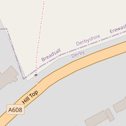
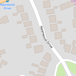
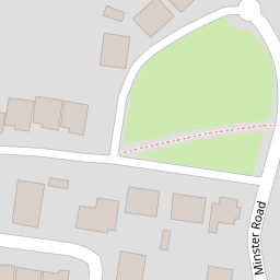
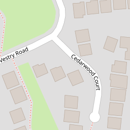

Leaflet © OpenStreetMap contributors
The heatmap indicates the level of crime in the area. The color of the heatmap indicates the crime severity and recency.
Metrics Year-on-Year
- Average area value
- 375,000.00 £Increased by 53.16 %
- Average area rental value
- 800.00 £/moDecreased by 17.44 %
- Est rental Yield
- 2.56 %Decreased by 46.11 %
- Crime Rate
- 6.00 %Unchanged by 0.00 %
from 244,842.00 £
from 969.00 £/mo
from 4.75 %
from 6.00 %
Nearby Schools
| Name | Type | Ofsted | Distance |
|---|---|---|---|
| St Andrew'S Academy | Academy Special Converter | 0.56 KM | |
| Breadsall Hill Top Primary School | Academy Sponsor Led | Good | 0.57 KM |
| Tuition Services Co Brookside School | Miscellaneous | 0.62 KM | |
| Da Vinci Academy | Academy Sponsor Led | Good | 0.65 KM |
| Breadsall Cofe Vc Primary School | Voluntary Controlled School | Good | 0.84 KM |
Images
Nearby Streets
| Name | Average Price | Average Sqft | Distance |
|---|---|---|---|
| Steeple Close | £ 0 | 0 | 0.00 KM |
| Mansfield Road | £ 425,000 | 0 | 0.00 KM |
| Sandringham Road | £ 170,000 | 0 | 0.00 KM |
| Knutsford Green | £ 0 | 0 | 0.00 KM |
| Cardinal Close | £ 0 | 0 | 0.00 KM |
Nearby Transport
| Name | NLC | TLC | Distance |
|---|---|---|---|
| Derby | 1823 | DBY | 3.82 KM |
| Spondon | 1699 | SPO | 5.64 KM |
| Duffield | 1691 | DFI | 6.21 KM |
| Peartree | 1687 | PEA | 6.25 KM |
| Belper | 1679 | BLP | 9.33 KM |
Nearby Listings
| Address | Price | Type | Score | Distance |
|---|---|---|---|---|
| Alder Close, Oakwood, DERBY | £ 180,000 | BUY | 7 / 10 | 0.00 KM |
| Alder Close, Oakwood | £ 130,000 | BUY | 7 / 10 | 0.07 KM |
| Vestry Road, Oakwood, Derby, Derbyshire, DE21 | £ 125,000 | BUY | 6 / 10 | 0.11 KM |
| Deacon Close, Oakwood | £ 230,000 | BUY | 6 / 10 | 0.13 KM |
| Hilltop, Oakwood, Derby | £ 285,000 | BUY | 7 / 10 | 0.14 KM |
Nearby Properties
| Address | Price | Distance |
|---|---|---|
| 49 Alder Close | £ 200,000 | 0.00 KM |
| 58 Alder Close | £ 119,000 | 0.00 KM |
| 39 Alder Close | £ 77,000 | 0.00 KM |
| 40 Alder Close | £ 32,750 | 0.00 KM |
| 28 Alder Close | £ 132,000 | 0.00 KM |