UN
1 Fallow Road
£ 349,995
Description
We don't have a Description for this property.
- Bedrooms
- 3
- Bathrooms
- 0


Leaflet © OpenStreetMap contributors
The heatmap indicates the level of crime in the area. The color of the heatmap indicates the crime severity and recency.
Metrics Year-on-Year
- Average area value
- 358,333.00 £Increased by 6.25 %
- Average area rental value
- 1,283.00 £/moDecreased by 3.24 %
- Est rental Yield
- 4.30 %Decreased by 8.90 %
- Crime Rate
- 12.00 %Unchanged by 0.00 %
from 337,265.00 £
from 1,326.00 £/mo
from 4.72 %
from 12.00 %
Nearby Schools
| Name | Type | Ofsted | Distance |
|---|---|---|---|
| Borrow Wood Primary School | Academy Converter | 0.74 KM | |
| Asterdale Primary School | Academy Converter | 1.54 KM | |
| Spondon Children'S Centre | Children's Centre | 1.79 KM | |
| Springfield Primary School | Academy Converter | 1.95 KM | |
| St Werburgh'S Cofe Primary School | Academy Converter | 1.99 KM |
Images
Nearby Streets
| Name | Average Price | Average Sqft | Distance |
|---|---|---|---|
| Hamilton Road | £ 210,000 | 0 | 0.00 KM |
| Stone Close | £ 235,000 | 0 | 0.00 KM |
| Glendale Drive | £ 360,000 | 0 | 0.00 KM |
| Rudyard Avenue | £ 250,000 | 0 | 0.00 KM |
| Gladstone Road | £ 216,250 | 0 | 0.00 KM |
Nearby Transport
| Name | NLC | TLC | Distance |
|---|---|---|---|
| Spondon | 1699 | SPO | 2.54 KM |
| Derby | 1823 | DBY | 7.73 KM |
| Peartree | 1687 | PEA | 9.37 KM |
Nearby Listings
| Address | Price | Type | Score | Distance |
|---|---|---|---|---|
| Fallow Road, Spondon | £ 320,000 | BUY | 6 / 10 | 0.05 KM |
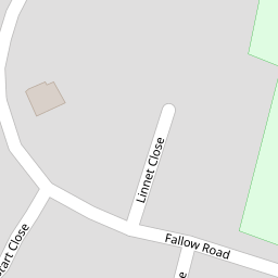
| Linnet Close, Spondon | £ 260,000 | BUY | 7 / 10 | 0.05 KM |
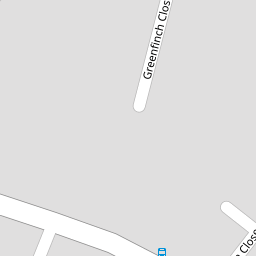
| Greenfinch Close, Spondon, Derby | £ 170,000 | BUY | 6 / 10 | 0.12 KM |
| Deer Park View, Spondon, DERBY | £ 325,000 | BUY | 6 / 10 | 0.17 KM |
| Deer Park View, Spondon, DE21 | £ 370,000 | BUY | 7 / 10 | 0.17 KM |
Nearby Properties
| Address | Price | Distance |
|---|---|---|
| 30 Fallow Road | £ 235,000 | 0.00 KM |
| 73 Fallow Road | £ 385,000 | 0.00 KM |
| 44 Fallow Road | £ 174,950 | 0.00 KM |
| 50 Fallow Road | £ 230,000 | 0.00 KM |
| 71 Fallow Road | £ 245,000 | 0.00 KM |