UN
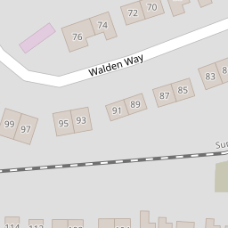
52 Walden Way
£ 177,500
Description
We don't have a Description for this property.
- Bedrooms
- 2
- Bathrooms
- 0
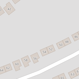
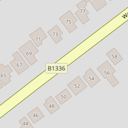
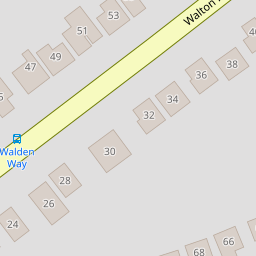
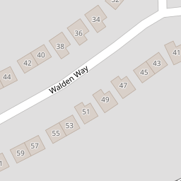
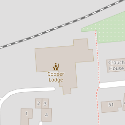

Leaflet © OpenStreetMap contributors
The heatmap indicates the level of crime in the area. The color of the heatmap indicates the crime severity and recency.
Metrics Year-on-Year
- Average area value
- 355,833.00 £Decreased by 13.39 %
- Average area rental value
- 2,023.00 £/moIncreased by 42.97 %
- Est rental Yield
- 6.82 %Increased by 65.13 %
- Crime Rate
- 6.00 %Unchanged by 0.00 %
from 410,823.00 £
from 1,415.00 £/mo
from 4.13 %
from 6.00 %
Nearby Schools
| Name | Type | Ofsted | Distance |
|---|---|---|---|
| St Philomena'S School | Other Independent School | 0.43 KM | |
| Tendring Technology College | Academy Converter | Good | 0.50 KM |
| Hamford Primary Academy | Academy Sponsor Led | Requires improvement | 0.93 KM |
| Tlg Tendring | Other Independent School | Good | 1.00 KM |
| Frinton-On-Sea Primary School | Community School | Good | 1.09 KM |
Images
Nearby Streets
| Name | Average Price | Average Sqft | Distance |
|---|---|---|---|
| Jubilee Way | £ 350,000 | 0 | 0.00 KM |
| D'Arcy Close | £ 0 | 0 | 0.00 KM |
| Frinton Road | £ 0 | 0 | 0.00 KM |
| Heron Way | £ 0 | 0 | 0.00 KM |
| Thornhill Close | £ 0 | 0 | 0.00 KM |
Nearby Transport
| Name | NLC | TLC | Distance |
|---|---|---|---|
| Frinton-On-Sea | 6854 | FRI | 0.81 KM |
| Walton-On-The-Naze | 6858 | WON | 2.08 KM |
| Kirby Cross | 6862 | KBX | 3.93 KM |
| Thorpe-Le-Soken | 6857 | TLS | 9.89 KM |
Nearby Listings
| Address | Price | Type | Score | Distance |
|---|---|---|---|---|
| Walton Road, Frinton-On-Sea | £ 221,000 | BUY | 7 / 10 | 0.11 KM |
| Pole Barn Lane, Frinton-On-Sea | £ 425,000 | BUY | 6 / 10 | 0.14 KM |
| Walton Road, Frinton-On-Sea | £ 499,995 | BUY | 7 / 10 | 0.14 KM |
| Pole Barn Lane, Frinton-On-Sea | £ 199,950 | BUY | 6 / 10 | 0.15 KM |
| WALTON ROAD, FRINTON-ON-SEA | £ 485,000 | BUY | 6 / 10 | 0.15 KM |
Nearby Properties
| Address | Price | Distance |
|---|---|---|
| 36 Walden Way | £ 368,000 | 0.00 KM |
| 58 Walden Way | £ 235,000 | 0.00 KM |
| 64 Walden Way | £ 164,000 | 0.00 KM |
| 62 Walden Way | £ 215,000 | 0.00 KM |
| 32 Walden Way | £ 259,995 | 0.00 KM |