UN
4 Ketts Hill
£ 340,000
Description
We don't have a Description for this property.
- Bedrooms
- 5
- Bathrooms
- 0
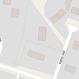
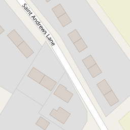

Leaflet © OpenStreetMap contributors
The heatmap indicates the level of crime in the area. The color of the heatmap indicates the crime severity and recency.
Metrics Year-on-Year
- Average area value
- 392,143.00 £Increased by 2.64 %
- Average area rental value
- 900.00 £/moDecreased by 30.66 %
- Est rental Yield
- 2.75 %Decreased by 32.60 %
- Crime Rate
- 57.00 %Unchanged by 0.00 %
from 382,045.00 £
from 1,298.00 £/mo
from 4.08 %
from 57.00 %
Nearby Schools
| Name | Type | Ofsted | Distance |
|---|---|---|---|
| Necton Va Primary School | Voluntary Aided School | Requires improvement | 0.47 KM |
| Great Dunham Primary School | Academy Converter | 5.32 KM | |
| Ashill Voluntary Controlled Primary School | Voluntary Controlled School | Good | 5.36 KM |
| Sporle Church Of England Primary Academy | Academy Sponsor Led | Requires improvement | 5.96 KM |
| Beeston Primary School | Academy Converter | Good | 7.51 KM |
Images
Nearby Streets
| Name | Average Price | Average Sqft | Distance |
|---|---|---|---|
| Chapel Lane | £ 0 | 0 | 0.00 KM |
| Bell's Meadow | £ 585,000 | 0 | 0.00 KM |
| The Avenue | £ 392,500 | 0 | 0.00 KM |
| Grove Lane | £ 0 | 0 | 0.00 KM |
| The Grove | £ 0 | 0 | 0.00 KM |
Nearby Listings
| Address | Price | Type | Score | Distance |
|---|---|---|---|---|
| Ketts Hill, Necton, Swaffham | £ 290,000 | BUY | 5 / 10 | 0.00 KM |
| Ketts Hill, Necton, PE37 | £ 300,000 | BUY | Unknown | 0.04 KM |
| Ketts Hill, Necton | £ 280,000 | BUY | 7 / 10 | 0.09 KM |
| St Andrews Lane, Necton | £ 230,000 | BUY | 6 / 10 | 0.14 KM |
| Ketts Hill, Necton | £ 325,000 | BUY | 6 / 10 | 0.21 KM |
Nearby Properties
| Address | Price | Distance |
|---|---|---|
| 18a Ketts Hill | £ 277,500 | 0.00 KM |
| 45 Ketts Hill | £ 190,000 | 0.00 KM |
| 20 Ketts Hill | £ 168,995 | 0.00 KM |
| 5 Ketts Hill | £ 260,000 | 0.00 KM |
| 19 Ketts Hill | £ 225,000 | 0.00 KM |