UN
12 West Parade
£ 425,000
Description
We don't have a Description for this property.
- Bedrooms
- 3
- Bathrooms
- 0
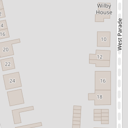
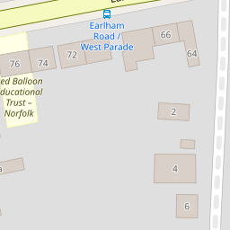

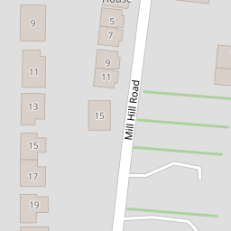
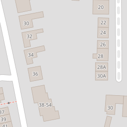

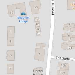


Leaflet © OpenStreetMap contributors
The heatmap indicates the level of crime in the area. The color of the heatmap indicates the crime severity and recency.
Metrics Year-on-Year
- Average area value
- 222,288.00 £Decreased by 15.84 %
- Average area rental value
- 1,121.00 £/moIncreased by 10.01 %
- Est rental Yield
- 6.05 %Increased by 30.67 %
- Crime Rate
- 2.00 %Unchanged by 0.00 %
from 264,112.00 £
from 1,019.00 £/mo
from 4.63 %
from 2.00 %
Nearby Schools
| Name | Type | Ofsted | Distance |
|---|---|---|---|
| Red Balloon - Norwich | Other Independent School | 0.17 KM | |
| Avenue Junior School | Community School | Good | 0.55 KM |
| Notre Dame Preparatory School (Norwich) Limited | Other Independent School | 0.59 KM | |
| The Parkside School, Norwich | Foundation Special School | Outstanding | 0.74 KM |
| Recreation Road Infant School | Community School | Outstanding | 0.76 KM |
Images
Nearby Streets
| Name | Average Price | Average Sqft | Distance |
|---|---|---|---|
| Havelock Road | £ 250,000 | 0 | 0.00 KM |
| The Elms | £ 0 | 0 | 0.00 KM |
| Chester Place | £ 1,250,000 | 0 | 0.00 KM |
| Hawthorne Row | £ 0 | 0 | 0.00 KM |
| Arderon Court | £ 0 | 0 | 0.00 KM |
Nearby Transport
| Name | NLC | TLC | Distance |
|---|---|---|---|
| Norwich | 7309 | NRW | 3.33 KM |
Nearby Listings
| Address | Price | Type | Score | Distance |
|---|---|---|---|---|
| West Parade, Norwich, Norfolk, NR2 | £ 1,350,000 | BUY | Unknown | 0.09 KM |
| Park Lane, Norwich | £ 115,000 | BUY | 5 / 10 | 0.12 KM |
| Mill Hill Road, Norwich, NR2 | £ 875,000 | BUY | 7 / 10 | 0.12 KM |
| Park Lane, Norwich | £ 160,000 | BUY | 6 / 10 | 0.14 KM |
| Golden Triangle, NR2 | £ 140,000 | BUY | 5 / 10 | 0.15 KM |
Nearby Properties
| Address | Price | Distance |
|---|---|---|
| 10 West Parade | £ 735,000 | 0.00 KM |
| 28a West Parade | £ 310,000 | 0.00 KM |
| 6 West Parade | £ 955,000 | 0.00 KM |
| 30 West Parade | £ 665,000 | 0.00 KM |
| 4 West Parade | £ 459,000 | 0.00 KM |