UN
7 Grove Road
£ 620,000
Description
We don't have a Description for this property.
- Bedrooms
- 2
- Bathrooms
- 0
- Furnished
- true

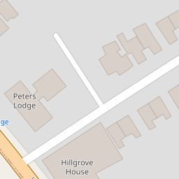

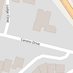
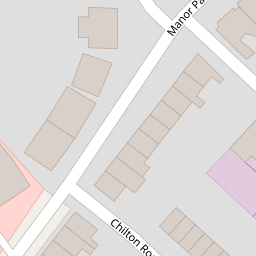

Leaflet © OpenStreetMap contributors
The heatmap indicates the level of crime in the area. The color of the heatmap indicates the crime severity and recency.
Metrics Year-on-Year
- Average area value
- 523,881.00 £Decreased by 13.55 %
- Average area rental value
- 1,887.00 £/moDecreased by 11.95 %
- Est rental Yield
- 4.32 %Increased by 1.89 %
- Crime Rate
- 13.00 %Unchanged by 0.00 %
from 606,004.00 £
from 2,143.00 £/mo
from 4.24 %
from 13.00 %
Nearby Schools
| Name | Type | Ofsted | Distance |
|---|---|---|---|
| Tashbar Of Edgware | Other Independent School | Inadequate | 0.06 KM |
| Edgware Primary School | Community School | Good | 0.68 KM |
| Edgware Jewish Girls - Beis Chinuch | Other Independent School | Good | 0.73 KM |
| Krishna Avanti Primary School | Academy Converter | Good | 0.98 KM |
| Beit Shvidler Primary School | Voluntary Aided School | Good | 1.15 KM |
Images
Nearby Streets
| Name | Average Price | Average Sqft | Distance |
|---|---|---|---|
| High Street | £ 564,998 | 0 | 0.00 KM |
| Whitchurch Lane | £ 0 | 0 | 0.00 KM |
| Princes Close | £ 0 | 0 | 0.00 KM |
| Savoy Close | £ 0 | 0 | 0.00 KM |
| Orchard Court | £ 314,667 | 0 | 0.00 KM |
Nearby Transport
| Name | NLC | TLC | Distance |
|---|---|---|---|
| Mill Hill Broadway | 1527 | MIL | 3.48 KM |
| Elstree And Borehamwood | 1542 | ELS | 4.46 KM |
| Kenton | 1399 | KNT | 5.30 KM |
| South Kenton | 1453 | SOK | 5.66 KM |
| Hendon | 1522 | HEN | 5.92 KM |
Nearby Listings
| Address | Price | Type | Score | Distance |
|---|---|---|---|---|
| High Street, Edgware, HA8 | £ 525,000 | BUY | 5 / 10 | 0.07 KM |
| High Street, Edgware, HA8 | £ 360,000 | BUY | Unknown | 0.07 KM |
| High Street, Edgware, HA8 | £ 370,000 | BUY | 6 / 10 | 0.07 KM |
| High Street, Edgware, HA8 | £ 450,000 | BUY | 5 / 10 | 0.07 KM |
| High Street, Edgware, HA8 | £ 445,000 | BUY | 5 / 10 | 0.07 KM |
Nearby Properties
| Address | Price | Distance |
|---|---|---|
| 7 Grove Road | £ 620,000 | 0.00 KM |
| 14 Grove Road | £ 340,000 | 0.00 KM |
| 9 Fernhurst Gardens | £ 525,000 | 0.09 KM |
| 7 Fernhurst Gardens | £ 550,000 | 0.09 KM |
| 3 Fernhurst Gardens | £ 540,000 | 0.09 KM |