UN
21a The Drive
£ 420,000
Description
We don't have a Description for this property.
- Bedrooms
- 4
- Bathrooms
- 0
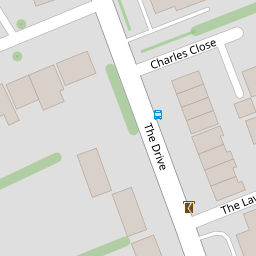

Leaflet © OpenStreetMap contributors
The heatmap indicates the level of crime in the area. The color of the heatmap indicates the crime severity and recency.
Metrics Year-on-Year
- Average area value
- 456,667.00 £Decreased by 3.43 %
- Average area rental value
- 2,099.00 £/moIncreased by 30.13 %
- Est rental Yield
- 5.52 %Increased by 34.96 %
- Crime Rate
- 5.00 %Unchanged by 0.00 %
from 472,875.00 £
from 1,613.00 £/mo
from 4.09 %
from 5.00 %
Nearby Schools
| Name | Type | Ofsted | Distance |
|---|---|---|---|
| Merton Court School | Other Independent School | 0.31 KM | |
| St Peter Chanel Catholic Primary School | Voluntary Aided School | Good | 0.84 KM |
| Cleeve Meadow School | Free Schools Special | 0.87 KM | |
| Cleeve Park School | Academy Converter | Requires improvement | 0.87 KM |
| Birkbeck Primary School | Community School | Good | 0.94 KM |
Images
Nearby Streets
| Name | Average Price | Average Sqft | Distance |
|---|---|---|---|
| Sedcombe Close | £ 799,999 | 0 | 0.00 KM |
| Warren Road | £ 625,000 | 0 | 0.00 KM |
| Aston Close | £ 0 | 0 | 0.00 KM |
| Penny Farthing Bridge | £ 0 | 0 | 0.00 KM |
| Abbeyhill Road | £ 700,000 | 0 | 0.00 KM |
Nearby Transport
| Name | NLC | TLC | Distance |
|---|---|---|---|
| Sidcup | 5125 | SID | 1.25 KM |
| Albany Park | 5132 | AYP | 1.81 KM |
| St Mary Cray | 5073 | SMY | 3.58 KM |
| Bexley | 5093 | BXY | 4.24 KM |
| Welling | 5128 | WLI | 4.43 KM |
Nearby Listings
| Address | Price | Type | Score | Distance |
|---|---|---|---|---|
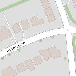
| Rectory Lane, Sidcup | £ 1,050,000 | BUY | 7 / 10 | 0.20 KM |
| Rectory Lane, Sidcup | £ 999,999 | BUY | 5 / 10 | 0.21 KM |
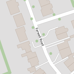
| Farwell Road, Sidcup, DA14 4LG | £ 825,000 | BUY | 6 / 10 | 0.22 KM |
| Bexley Lane, Sidcup, DA14 4JW | £ 825,000 | BUY | 7 / 10 | 0.23 KM |
| Warren Road, Sidcup, DA14 4NH | £ 600,000 | BUY | 5 / 10 | 0.32 KM |
Nearby Properties
| Address | Price | Distance |
|---|---|---|
| 21a The Drive | £ 420,000 | 0.00 KM |
| 15 The Drive | £ 962,500 | 0.00 KM |
| 21c The Drive | £ 362,995 | 0.00 KM |
| 15a The Drive | £ 750,000 | 0.00 KM |
| 19a The Drive | £ 390,000 | 0.00 KM |