UN
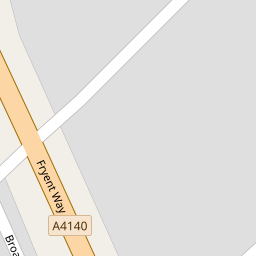
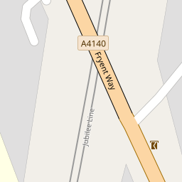
45 Fryent Way
£ 535,000
Description
We don't have a Description for this property.
- Bedrooms
- 3
- Bathrooms
- 0


Leaflet © OpenStreetMap contributors
The heatmap indicates the level of crime in the area. The color of the heatmap indicates the crime severity and recency.
Metrics Year-on-Year
- Average area value
- 458,515.00 £Decreased by 25.28 %
- Average area rental value
- 1,927.00 £/moDecreased by 7.04 %
- Est rental Yield
- 5.04 %Increased by 24.44 %
- Crime Rate
- 6.00 %Unchanged by 0.00 %
from 613,622.00 £
from 2,073.00 £/mo
from 4.05 %
from 6.00 %
Nearby Schools
| Name | Type | Ofsted | Distance |
|---|---|---|---|
| Jfs | Voluntary Aided School | Special Measures | 0.28 KM |
| Sinai Jewish Primary School | Voluntary Aided School | Good | 0.42 KM |
| Southover Partnership School | Other Independent Special School | Good | 0.88 KM |
| Kingsbury Green Primary School | Community School | Good | 1.00 KM |
| Kingsbury High School | Academy Converter | Good | 1.03 KM |
Images
Nearby Streets
| Name | Average Price | Average Sqft | Distance |
|---|---|---|---|
| Gore Court | £ 383,000 | 0 | 0.00 KM |
| Page Close | £ 0 | 0 | 0.00 KM |
| Wilson Drive | £ 0 | 0 | 0.00 KM |
| May Lane | £ 0 | 0 | 0.00 KM |
| Holly Grove | £ 0 | 0 | 0.00 KM |
Nearby Transport
| Name | NLC | TLC | Distance |
|---|---|---|---|
| Wembley Stadium | 1509 | WCX | 3.09 KM |
| North Wembley | 1422 | NWB | 3.49 KM |
| South Kenton | 1453 | SOK | 3.52 KM |
| Wembley Central | 1423 | WMB | 3.78 KM |
| Stonebridge Park | 1454 | SBP | 4.15 KM |
Nearby Listings
| Address | Price | Type | Score | Distance |
|---|---|---|---|---|
| Fryent Way, Kingsbury | £ 580,000 | BUY | 5 / 10 | 0.08 KM |
| Wyndale Avenue, Kingsbury | £ 745,000 | BUY | 7 / 10 | 0.15 KM |
| Wyndale Avenue, Kingsbury | £ 749,950 | BUY | 5 / 10 | 0.17 KM |
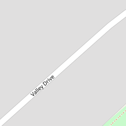
| Valley Drive, Kingsbury, NW9 | £ 790,000 | BUY | 6 / 10 | 0.17 KM |
| Valley Drive, Kingsbury, NW9 | £ 625,000 | BUY | Unknown | 0.20 KM |
Nearby Properties
| Address | Price | Distance |
|---|---|---|
| 45 Fryent Way | £ 535,000 | 0.00 KM |
| 43 Fryent Way | £ 590,000 | 0.00 KM |
| 59 Fryent Way | £ 490,000 | 0.08 KM |
| 86 Fryent Way | £ 295,000 | 0.12 KM |
| 88 Fryent Way | £ 235,000 | 0.13 KM |