UN
9 The Vyne
£ 198,000
Description
We don't have a Description for this property.
- Bedrooms
- 2
- Bathrooms
- 0
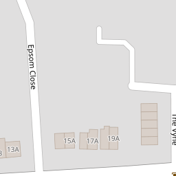

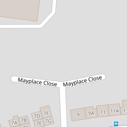
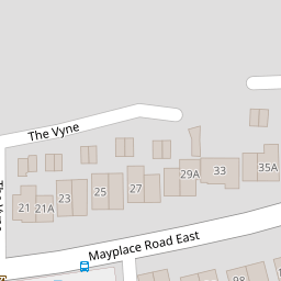


Leaflet © OpenStreetMap contributors
The heatmap indicates the level of crime in the area. The color of the heatmap indicates the crime severity and recency.
Metrics Year-on-Year
- Average area value
- 400,198.00 £Increased by 0.57 %
- Average area rental value
- 1,743.00 £/moDecreased by 0.06 %
- Est rental Yield
- 5.23 %Decreased by 0.57 %
- Crime Rate
- 1.00 %Unchanged by 0.00 %
from 397,932.00 £
from 1,744.00 £/mo
from 5.26 %
from 1.00 %
Nearby Schools
| Name | Type | Ofsted | Distance |
|---|---|---|---|
| St Catherine'S Catholic School | Academy Converter | Good | 0.61 KM |
| Gravel Hill Primary School | Academy Converter | 0.65 KM | |
| Pelham Primary School | Academy Converter | Good | 0.82 KM |
| St Columba'S Catholic Boys' School | Academy Converter | Good | 0.87 KM |
| Bursted Wood Primary School | Academy Converter | Good | 0.96 KM |
Images
Nearby Streets
| Name | Average Price | Average Sqft | Distance |
|---|---|---|---|
| Springfield Road | £ 699,995 | 0 | 0.00 KM |
| The Chase | £ 0 | 0 | 0.00 KM |
| Brindley Close | £ 390,000 | 0 | 0.00 KM |
| FP37 | £ 400,000 | 0 | 0.00 KM |
| Gravel Hill | £ 625,000 | 0 | 0.00 KM |
Nearby Transport
| Name | NLC | TLC | Distance |
|---|---|---|---|
| Barnehurst | 5089 | BNH | 0.68 KM |
| Bexley | 5093 | BXY | 2.37 KM |
| Bexleyheath | 5094 | BXH | 2.55 KM |
| Crayford | 5100 | CRY | 2.79 KM |
| Erith | 5104 | ERH | 3.19 KM |
Nearby Listings
| Address | Price | Type | Score | Distance |
|---|---|---|---|---|
| The Vyne, Bexleyheath, DA7 | £ 400,000 | BUY | Unknown | 0.01 KM |
| Epsom Close, Bexleyheath, DA7 | £ 450,000 | BUY | 7 / 10 | 0.09 KM |
| Epsom Close, Bexleyheath, DA7 | £ 575,000 | BUY | 7 / 10 | 0.10 KM |
| Epsom Close, Bexleyheath, Kent | £ 625,000 | BUY | Unknown | 0.10 KM |
| Rudland Road, Bexleyheath | £ 475,000 | BUY | 7 / 10 | 0.11 KM |
Nearby Properties
| Address | Price | Distance |
|---|---|---|
| 17 The Vyne | £ 231,995 | 0.00 KM |
| 10a The Vyne | £ 343,000 | 0.00 KM |
| 2 The Vyne | £ 325,000 | 0.00 KM |
| 16 The Vyne | £ 305,000 | 0.00 KM |
| 13 The Vyne | £ 380,000 | 0.00 KM |