UN
33 St Johns Road
£ 340,000
Description
We don't have a Description for this property.
- Bedrooms
- 3
- Bathrooms
- 0
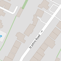
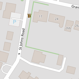
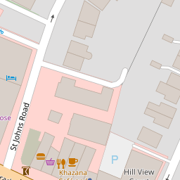

Leaflet © OpenStreetMap contributors
The heatmap indicates the level of crime in the area. The color of the heatmap indicates the crime severity and recency.
Metrics Year-on-Year
- Average area value
- 423,417.00 £Decreased by 4.71 %
- Average area rental value
- 1,573.00 £/moDecreased by 1.75 %
- Est rental Yield
- 4.46 %Increased by 3.24 %
- Crime Rate
- 9.00 %Unchanged by 0.00 %
from 444,363.00 £
from 1,601.00 £/mo
from 4.32 %
from 9.00 %
Nearby Schools
| Name | Type | Ofsted | Distance |
|---|---|---|---|
| Birkbeck Primary School | Community School | Good | 0.66 KM |
| West Lodge School | Other Independent School | 0.66 KM | |
| Merton Court School | Other Independent School | 0.69 KM | |
| Benedict House Preparatory School | Other Independent School | Good | 0.91 KM |
| The Oval | Children's Centre Linked Site | 1.00 KM |
Images
Nearby Streets
| Name | Average Price | Average Sqft | Distance |
|---|---|---|---|
| Aston Close | £ 0 | 0 | 0.00 KM |
| Sedcombe Close | £ 799,999 | 0 | 0.00 KM |
| Sandhurst Road | £ 0 | 0 | 0.00 KM |
| Warren Road | £ 625,000 | 0 | 0.00 KM |
| Grange Close | £ 320,000 | 0 | 0.00 KM |
Nearby Transport
| Name | NLC | TLC | Distance |
|---|---|---|---|
| Sidcup | 5125 | SID | 0.93 KM |
| Albany Park | 5132 | AYP | 2.31 KM |
| St Mary Cray | 5073 | SMY | 3.50 KM |
| New Eltham | 5119 | NEH | 4.26 KM |
| Welling | 5128 | WLI | 4.34 KM |
Nearby Listings
| Address | Price | Type | Score | Distance |
|---|---|---|---|---|
| Granville Road, Sidcup | £ 325,000 | BUY | 6 / 10 | 0.14 KM |
| Granville Road, Sidcup, DA14 | £ 300,000 | BUY | 6 / 10 | 0.18 KM |
| Granville Road, Sidcup, DA14 | £ 300,000 | BUY | 5 / 10 | 0.19 KM |
| Granville Road, Sidcup, DA14 | £ 300,000 | BUY | Unknown | 0.19 KM |
| Sidcup Hill, Sidcup | £ 350,000 | BUY | Unknown | 0.24 KM |
Nearby Properties
| Address | Price | Distance |
|---|---|---|
| 17 St Johns Road | £ 1,135,000 | 0.00 KM |
| 39 St Johns Road | £ 340,000 | 0.00 KM |
| 43 St Johns Road | £ 485,000 | 0.00 KM |
| 29 St Johns Road | £ 670,000 | 0.00 KM |
| 21 St Johns Road | £ 430,000 | 0.00 KM |