UN
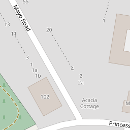
9 Mayo Road
£ 165,000
Description
We don't have a Description for this property.
- Bedrooms
- 2
- Bathrooms
- 0

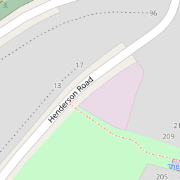

Leaflet © OpenStreetMap contributors
The heatmap indicates the level of crime in the area. The color of the heatmap indicates the crime severity and recency.
Metrics Year-on-Year
- Average area value
- 306,838.00 £Decreased by 4.20 %
- Average area rental value
- 1,684.00 £/moDecreased by 0.24 %
- Est rental Yield
- 6.59 %Increased by 4.27 %
- Crime Rate
- 4.00 %Unchanged by 0.00 %
from 320,304.00 £
from 1,688.00 £/mo
from 6.32 %
from 4.00 %
Nearby Schools
| Name | Type | Ofsted | Distance |
|---|---|---|---|
| Brit School For Performing Arts And Technology | City Technology College | Good | 0.46 KM |
| Thornton Heath Children'S Centre | Children's Centre Linked Site | 0.52 KM | |
| Thornton Heath Nursery School | Local Authority Nursery School | Good | 0.55 KM |
| Aya College (On-Site Educational Provision) | Other Independent School | 0.56 KM | |
| The Crescent Primary School | Academy Converter | Good | 0.59 KM |
Images
Nearby Streets
| Name | Average Price | Average Sqft | Distance |
|---|---|---|---|
| Amersham Road | £ 0 | 0 | 0.00 KM |
| Rushbridge Close | £ 0 | 0 | 0.00 KM |
| Elm Road | £ 0 | 0 | 0.00 KM |
| Simpson Close | £ 0 | 0 | 0.00 KM |
| Wisbeach Road | £ 0 | 0 | 0.00 KM |
Nearby Transport
| Name | NLC | TLC | Distance |
|---|---|---|---|
| Selhurst | 5434 | SRS | 0.87 KM |
| Thornton Heath | 5388 | TTH | 0.88 KM |
| West Croydon | 5411 | WCY | 1.68 KM |
| East Croydon | 5355 | ECR | 1.89 KM |
| Norwood Junction | 5376 | NWD | 2.38 KM |
Nearby Listings
| Address | Price | Type | Score | Distance |
|---|---|---|---|---|
| Princess Road, Croydon, Surrey | £ 280,000 | BUY | 6 / 10 | 0.08 KM |
| Princess Road, Croydon, CR0 | £ 475,000 | BUY | Unknown | 0.09 KM |
| Princess Road, Croydon, CR0 | £ 240,000 | BUY | 4 / 10 | 0.10 KM |
| Northbrook Road, Croydon | £ 450,000 | BUY | Unknown | 0.10 KM |
| Princess Road, Croydon, CR0 | £ 250,000 | BUY | 6 / 10 | 0.11 KM |
Nearby Properties
| Address | Price | Distance |
|---|---|---|
| 31 Mayo Road | £ 345,000 | 0.00 KM |
| 17 Mayo Road | £ 169,950 | 0.00 KM |
| 11 Mayo Road | £ 174,000 | 0.00 KM |
| 16 Mayo Road | £ 165,000 | 0.00 KM |
| 4 Mayo Road | £ 285,000 | 0.00 KM |