UN
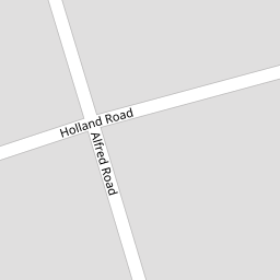
4 Holland Road
£ 159,000
Description
We don't have a Description for this property.
- Bedrooms
- 2
- Bathrooms
- 0


Leaflet © OpenStreetMap contributors
The heatmap indicates the level of crime in the area. The color of the heatmap indicates the crime severity and recency.
Metrics Year-on-Year
- Average area value
- 489,165.00 £Increased by 16.57 %
- Average area rental value
- 1,679.00 £/moDecreased by 8.30 %
- Est rental Yield
- 4.12 %Decreased by 21.37 %
- Crime Rate
- 10.00 %Unchanged by 0.00 %
from 419,649.00 £
from 1,831.00 £/mo
from 5.24 %
from 10.00 %
Nearby Schools
| Name | Type | Ofsted | Distance |
|---|---|---|---|
| Crosfield Nursery School And Children'S Centre | Children's Centre | 0.36 KM | |
| Crosfield Nursery School | Local Authority Nursery School | Good | 0.36 KM |
| Oasis Academy Ryelands | Academy Sponsor Led | Good | 0.43 KM |
| South Norwood Primary | Academy Sponsor Led | 0.60 KM | |
| St Mark'S Church Of England Primary Academy | Academy Sponsor Led | Good | 0.61 KM |
Images
Nearby Streets
| Name | Average Price | Average Sqft | Distance |
|---|---|---|---|
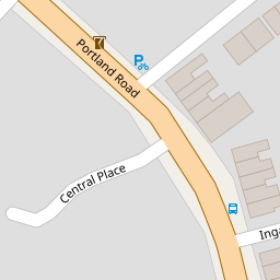
| Central Place | £ 0 | 0 | 0.00 KM |
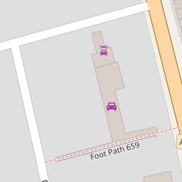
| Foot Path 726 | £ 200,000 | 0 | 0.00 KM |
| Crowther Road | £ 0 | 0 | 0.00 KM |
| St Mark's Road | £ 220,000 | 0 | 0.00 KM |
| Foot Path 723 | £ 500,000 | 0 | 0.00 KM |
Nearby Transport
| Name | NLC | TLC | Distance |
|---|---|---|---|
| Norwood Junction | 5376 | NWD | 0.83 KM |
| Birkbeck | 5401 | BIK | 1.71 KM |
| Anerley | 5397 | ANZ | 1.96 KM |
| Elmers End | 5049 | ELE | 2.10 KM |
| Selhurst | 5434 | SRS | 2.25 KM |
Nearby Listings
| Address | Price | Type | Score | Distance |
|---|---|---|---|---|
| Portland Road, London, SE25 | £ 170,000 | BUY | 6 / 10 | 0.03 KM |
| Holland Road, South Norwood | £ 450,000 | BUY | 5 / 10 | 0.03 KM |
| 122B Portland Road, Croydon, London, SE25 4PL | £ 120,000 | BUY | 5 / 10 | 0.04 KM |
| Portland Road, London | £ 200,000 | BUY | 6 / 10 | 0.10 KM |
| Portland Road, London, SE25 | £ 300,000 | BUY | 6 / 10 | 0.12 KM |
Nearby Properties
| Address | Price | Distance |
|---|---|---|
| 13 Holland Road | £ 125,000 | 0.00 KM |
| 1b Holland Road | £ 143,000 | 0.00 KM |
| 1a Holland Road | £ 140,000 | 0.00 KM |
| 2 Holland Road | £ 330,000 | 0.00 KM |
| 6 Holland Road | £ 205,000 | 0.00 KM |