UN
6 The Avenue
£ 2,950,000
Description
We don't have a Description for this property.
- Bedrooms
- 5
- Bathrooms
- 0
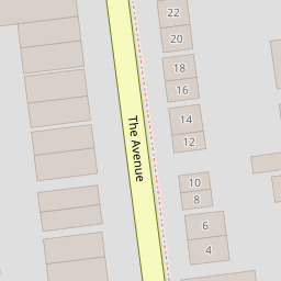


Leaflet © OpenStreetMap contributors
The heatmap indicates the level of crime in the area. The color of the heatmap indicates the crime severity and recency.
Metrics Year-on-Year
- Average area value
- 927,115.00 £Increased by 11.28 %
- Average area rental value
- 2,608.00 £/moIncreased by 29.17 %
- Est rental Yield
- 3.38 %Increased by 16.15 %
- Crime Rate
- 1.00 %Unchanged by 0.00 %
from 833,157.00 £
from 2,019.00 £/mo
from 2.91 %
from 1.00 %
Nearby Schools
| Name | Type | Ofsted | Distance |
|---|---|---|---|
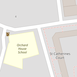
| Orchard House School | Other Independent School | 0.23 KM | |
| Chiswick And Bedford Park Preparatory School | Other Independent School | 0.25 KM | |
| Southfield Primary School | Community School | Good | 0.36 KM |
| Artsed Day School And Sixth Form | Other Independent School | 0.47 KM | |
| Belmont Primary School | Community School | Outstanding | 0.94 KM |
Images
Nearby Streets
| Name | Average Price | Average Sqft | Distance |
|---|---|---|---|
| Queen Anne's Grove | £ 599,500 | 0 | 0.00 KM |
| Priory Gardens | £ 0 | 0 | 0.00 KM |
| Turnham Green Terrace | £ 0 | 0 | 0.00 KM |
| Elliott Road | £ 0 | 0 | 0.00 KM |
| Eridge Road | £ 1,375,000 | 0 | 0.00 KM |
Nearby Transport
| Name | NLC | TLC | Distance |
|---|---|---|---|
| Acton Central | 1404 | ACC | 1.39 KM |
| South Acton | 1452 | SAT | 1.58 KM |
| Gunnersbury | 5588 | GUN | 2.26 KM |
| Chiswick | 5583 | CHK | 2.32 KM |
| Acton Main Line | 3000 | AML | 2.42 KM |
Nearby Listings
| Address | Price | Type | Score | Distance |
|---|---|---|---|---|
| The Avenue, London, W4 | £ 2,250,000 | BUY | 7 / 10 | 0.06 KM |
| The Avenue, London, W4 | £ 850,000 | BUY | 7 / 10 | 0.08 KM |
| The Avenue, London | £ 2,500,000 | BUY | 6 / 10 | 0.09 KM |
| Blenheim Road, London, W4 | £ 3,500,000 | BUY | Unknown | 0.12 KM |
| Queen Annes Grove, London, W4 | £ 4,950,000 | BUY | 8 / 10 | 0.13 KM |
Nearby Properties
| Address | Price | Distance |
|---|---|---|
| 14 The Avenue | £ 1,771,000 | 0.00 KM |
| 4 The Avenue | £ 2,950,000 | 0.00 KM |
| 34 The Avenue | £ 3,351,000 | 0.00 KM |
| 18 The Avenue | £ 2,375,000 | 0.00 KM |
| 20 The Avenue | £ 2,385,000 | 0.00 KM |