UN
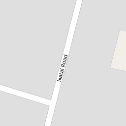
23 Natal Road
£ 220,000
Description
We don't have a Description for this property.
- Bedrooms
- 1
- Bathrooms
- 0

Leaflet © OpenStreetMap contributors
The heatmap indicates the level of crime in the area. The color of the heatmap indicates the crime severity and recency.
Metrics Year-on-Year
- Average area value
- 590,904.00 £Increased by 11.47 %
- Average area rental value
- 1,579.00 £/moDecreased by 19.93 %
- Est rental Yield
- 3.21 %Decreased by 28.03 %
- Crime Rate
- 5.00 %Unchanged by 0.00 %
from 530,125.00 £
from 1,972.00 £/mo
from 4.46 %
from 5.00 %
Nearby Schools
| Name | Type | Ofsted | Distance |
|---|---|---|---|
| Bowes Children'S Centre | Children's Centre Linked Site | 0.34 KM | |
| Bowes Primary School | Academy Converter | 0.34 KM | |
| Broomfield School | Foundation School | Good | 0.46 KM |
| Bounds Green Children'S Centre | Children's Centre | 0.58 KM | |
| Bounds Green Infant School | Community School | Outstanding | 0.58 KM |
Images
Nearby Streets
| Name | Average Price | Average Sqft | Distance |
|---|---|---|---|
| Pottery Gate | £ 474,000 | 0 | 0.00 KM |
| Eleanor Road | £ 634,000 | 0 | 0.00 KM |
| Broomfield Road | £ 160,000 | 0 | 0.00 KM |
| Evesham Road | £ 784,998 | 0 | 0.00 KM |
| Blake Road | £ 1,150,000 | 0 | 0.00 KM |
Nearby Transport
| Name | NLC | TLC | Distance |
|---|---|---|---|
| Bowes Park | 6027 | BOP | 0.59 KM |
| Alexandra Palace | 6025 | AAP | 1.54 KM |
| Palmers Green | 6021 | PAL | 1.65 KM |
| New Southgate | 6019 | NSG | 2.17 KM |
| Hornsey | 6015 | HRN | 3.06 KM |
Nearby Listings
| Address | Price | Type | Score | Distance |
|---|---|---|---|---|
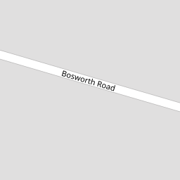
| Bosworth Road, Bounds Green | £ 750,000 | BUY | Unknown | 0.09 KM |
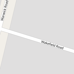
| Wakefield Road, London, N11 | £ 425,000 | BUY | 6 / 10 | 0.12 KM |
| Brownlow Road, London | £ 475,000 | BUY | 6 / 10 | 0.13 KM |
| Warwick Road, London, N11 | £ 430,000 | BUY | Unknown | 0.16 KM |
| Brownlow Road, London, N11 | £ 625,000 | BUY | 7 / 10 | 0.20 KM |
Nearby Properties
| Address | Price | Distance |
|---|---|---|
| 59a Natal Road | £ 70,000 | 0.00 KM |
| 47 Natal Road | £ 425,000 | 0.00 KM |
| 57a Natal Road | £ 247,000 | 0.00 KM |
| 11 Natal Road | £ 475,000 | 0.00 KM |
| 29 Natal Road | £ 341,000 | 0.00 KM |