UN
7 Stroud Gate
£ 250,000
Description
We don't have a Description for this property.
- Bedrooms
- 5
- Bathrooms
- 0
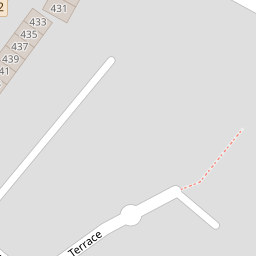

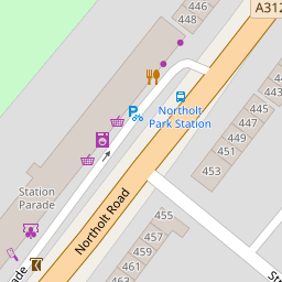

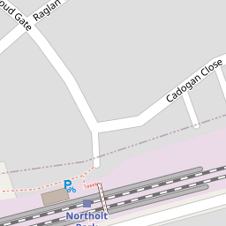


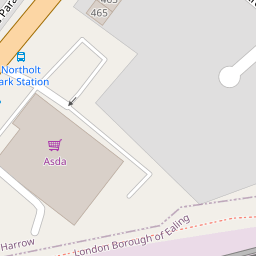


Leaflet © OpenStreetMap contributors
The heatmap indicates the level of crime in the area. The color of the heatmap indicates the crime severity and recency.
Metrics Year-on-Year
- Average area value
- 334,550.00 £Increased by 6.38 %
- Average area rental value
- 1,121.00 £/moIncreased by 0.54 %
- Est rental Yield
- 4.02 %Decreased by 5.41 %
- Crime Rate
- 11.00 %Unchanged by 0.00 %
from 314,486.00 £
from 1,115.00 £/mo
from 4.25 %
from 11.00 %
Nearby Schools
| Name | Type | Ofsted | Distance |
|---|---|---|---|
| The Welldon Park Academy | Academy Sponsor Led | 0.51 KM | |
| Petts Hill Primary School | Community School | Good | 0.56 KM |
| Northolt Park Children'S Centre | Children's Centre Linked Site | 0.62 KM | |
| Petts Hill Children'S Centre | Children's Centre Linked Site | 0.68 KM | |
| Greenwood Primary School | Community School | Good | 1.14 KM |
Images
Nearby Streets
| Name | Average Price | Average Sqft | Distance |
|---|---|---|---|
| Westwood Avenue | £ 504,833 | 0 | 0.00 KM |
| Whitton Avenue West | £ 265,000 | 0 | 0.00 KM |
| Beechwood Gardens | £ 0 | 0 | 0.00 KM |
| Wincanton Crescent | £ 255,000 | 0 | 0.00 KM |
| Russell Road | £ 0 | 0 | 0.00 KM |
Nearby Transport
| Name | NLC | TLC | Distance |
|---|---|---|---|
| Northolt Park | 1478 | NLT | 0.09 KM |
| Greenford | 3136 | GFD | 2.35 KM |
| Sudbury Hill Harrow | 1484 | SDH | 2.64 KM |
| Harrow-On-The-Hill | 598 | HOH | 3.40 KM |
| South Greenford | 3138 | SGN | 3.74 KM |
Nearby Listings
| Address | Price | Type | Score | Distance |
|---|---|---|---|---|
| Stroud Gate, South Harrow, HA2 8JL | £ 500,000 | BUY | Unknown | 0.01 KM |
| Stroud Gate, South Harrow, HA2 8JL | £ 485,000 | BUY | 5 / 10 | 0.04 KM |
| Northolt Road, Harrow, HA2 | £ 570,000 | BUY | Unknown | 0.06 KM |
| 426 Northolt Road, Harrow, HA2 8EZ | £ 160,000 | BUY | 5 / 10 | 0.15 KM |
| Westwood Avenue, Harrow, HA2 8NS | £ 319,500 | BUY | 4 / 10 | 0.16 KM |
Nearby Properties
| Address | Price | Distance |
|---|---|---|
| 29 Stroud Gate | £ 265,000 | 0.00 KM |
| 23 Stroud Gate | £ 299,950 | 0.00 KM |
| 33 Stroud Gate | £ 82,700 | 0.00 KM |
| 27 Stroud Gate | £ 385,000 | 0.00 KM |
| 25 Stroud Gate | £ 199,500 | 0.00 KM |