UN
9 Church Lane
£ 505,000
Description
We don't have a Description for this property.
- Bedrooms
- 4
- Bathrooms
- 0
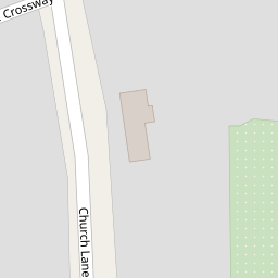
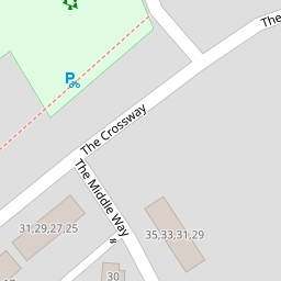


Leaflet © OpenStreetMap contributors
The heatmap indicates the level of crime in the area. The color of the heatmap indicates the crime severity and recency.
Metrics Year-on-Year
- Average area value
- 341,429.00 £Increased by 9.95 %
- Average area rental value
- 875.00 £/moDecreased by 18.53 %
- Est rental Yield
- 3.08 %Decreased by 25.78 %
- Crime Rate
- 4.00 %Unchanged by 0.00 %
from 310,533.00 £
from 1,074.00 £/mo
from 4.15 %
from 4.00 %
Nearby Schools
| Name | Type | Ofsted | Distance |
|---|---|---|---|
| Belmont School | Community School | Outstanding | 0.54 KM |
| The Sacred Heart Language College | Academy Converter | 0.54 KM | |
| Weald Rise Primary School | Community School | Good | 0.63 KM |
| Gange | Children's Centre Linked Site | 0.74 KM | |
| Salvatorian Roman Catholic College | Academy Converter | Good | 0.83 KM |
Images
Nearby Streets
| Name | Average Price | Average Sqft | Distance |
|---|---|---|---|
| The Broadway | £ 550,000 | 0 | 0.00 KM |
| Stirling Road | £ 525,000 | 0 | 0.00 KM |
| Park Rise | £ 0 | 0 | 0.00 KM |
| Park Rise | £ 685,000 | 0 | 0.00 KM |
| Tallack Close | £ 350,000 | 0 | 0.00 KM |
Nearby Transport
| Name | NLC | TLC | Distance |
|---|---|---|---|
| Harrow And Wealdstone | 1397 | HRW | 1.11 KM |
| Harrow-On-The-Hill | 598 | HOH | 2.58 KM |
| Kenton | 1399 | KNT | 2.76 KM |
| Headstone Lane | 1434 | HDL | 2.81 KM |
| Hatch End | 1398 | HTE | 4.15 KM |
Nearby Listings
| Address | Price | Type | Score | Distance |
|---|---|---|---|---|
| Adderley Road, Harrow, HA3 | £ 535,000 | BUY | 6 / 10 | 0.16 KM |
| Adderley Road, Harrow, Middlesex | £ 550,000 | BUY | 5 / 10 | 0.16 KM |
| Church Lane, Harrow | £ 425,000 | BUY | Unknown | 0.17 KM |
| Bishop Ken Road, Harrow | £ 500,000 | BUY | 6 / 10 | 0.20 KM |
| The Middle Way, Harrow Weald | £ 530,000 | BUY | 5 / 10 | 0.21 KM |
Nearby Properties
| Address | Price | Distance |
|---|---|---|
| 33 Church Lane | £ 349,950 | 0.00 KM |
| 15 Church Lane | £ 242,000 | 0.00 KM |
| 11 Church Lane | £ 472,000 | 0.00 KM |
| 87 Church Lane | £ 250,000 | 0.00 KM |
| 57 Church Lane | £ 208,500 | 0.00 KM |