UN
10 Brunel Drive
£ 112,500
Description
We don't have a Description for this property.
- Bedrooms
- 2
- Bathrooms
- 0
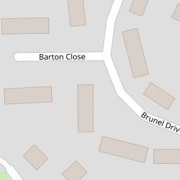


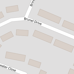

Leaflet © OpenStreetMap contributors
The heatmap indicates the level of crime in the area. The color of the heatmap indicates the crime severity and recency.
Metrics Year-on-Year
- Average area value
- 176,863.00 £Decreased by 32.29 %
- Average area rental value
- 1,300.00 £/moIncreased by 57.00 %
- Est rental Yield
- 8.82 %Increased by 132.11 %
- Crime Rate
- 4.00 %Unchanged by 0.00 %
from 261,208.00 £
from 828.00 £/mo
from 3.80 %
from 4.00 %
Nearby Schools
| Name | Type | Ofsted | Distance |
|---|---|---|---|
| Our Lady Queen Of Peace Catholic Primary School | Voluntary Aided School | Good | 0.43 KM |
| Hatton Hill Primary School | Community School | Good | 0.46 KM |
| Forefield Community Infant And Nursery School | Community School | Outstanding | 1.21 KM |
| English Martyrs' Catholic Primary School | Voluntary Aided School | Good | 1.32 KM |
| Chesterfield High School | Academy Converter | Good | 1.34 KM |
Images
Nearby Streets
| Name | Average Price | Average Sqft | Distance |
|---|---|---|---|
| Windsor Avenue | £ 0 | 0 | 0.00 KM |
| Wylva Avenue | £ 270,000 | 0 | 0.00 KM |
| School Lane | £ 0 | 0 | 0.00 KM |
| Oxford Avenue | £ 0 | 0 | 0.00 KM |
| Knightsway | £ 249,950 | 0 | 0.00 KM |
Nearby Transport
| Name | NLC | TLC | Distance |
|---|---|---|---|
| Seaforth And Litherland | 2250 | SFL | 1.46 KM |
| Waterloo (Merseyside) | 2133 | WLO | 2.32 KM |
| Bootle New Strand | 2195 | BNW | 3.10 KM |
| Bootle Oriel Road | 2239 | BOT | 3.78 KM |
| Blundellsands And Crosby | 2123 | BLN | 3.96 KM |
Nearby Listings
| Address | Price | Type | Score | Distance |
|---|---|---|---|---|
| Brunel Drive, Liverpool | £ 170,000 | BUY | 6 / 10 | 0.03 KM |
| Waterfield Way, Liverpool | £ 230,000 | BUY | 7 / 10 | 0.07 KM |
| Waterfield Way, Liverpool, Merseyside, L21 | £ 200,000 | BUY | 8 / 10 | 0.08 KM |
| Trent Way, Liverpool, L21 | £ 215,000 | BUY | 7 / 10 | 0.14 KM |
| Hatton Hill Road, Liverpool, L21 | £ 140,000 | BUY | Unknown | 0.16 KM |
Nearby Properties
| Address | Price | Distance |
|---|---|---|
| 10 Brunel Drive | £ 112,500 | 0.00 KM |
| 15 Brunel Drive | £ 43,000 | 0.00 KM |
| 24 Brunel Drive | £ 121,000 | 0.00 KM |
| 25 Brunel Drive | £ 100,000 | 0.00 KM |
| 19 Brunel Drive | £ 143,000 | 0.00 KM |