UN
46 Ashdown Close
£ 89,000
Description
We don't have a Description for this property.
- Bedrooms
- 3
- Bathrooms
- 0
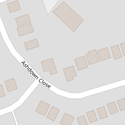

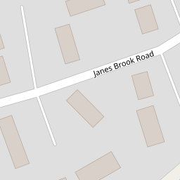

Leaflet © OpenStreetMap contributors
The heatmap indicates the level of crime in the area. The color of the heatmap indicates the crime severity and recency.
Metrics Year-on-Year
- Average area value
- 566,147.00 £Decreased by 10.07 %
- Average area rental value
- 3,400.00 £/moIncreased by 28.11 %
- Est rental Yield
- 7.21 %Increased by 42.49 %
- Crime Rate
- 7.00 %Unchanged by 0.00 %
from 629,523.00 £
from 2,654.00 £/mo
from 5.06 %
from 7.00 %
Nearby Schools
| Name | Type | Ofsted | Distance |
|---|---|---|---|
| Kew Woods Primary School | Academy Converter | 0.88 KM | |
| Meols Cop High School | Community School | Outstanding | 1.04 KM |
| St Philip'S Church Of England Primary School | Voluntary Aided School | Good | 1.29 KM |
| Norwood Primary School | Community School | Good | 1.50 KM |
| Holy Family Catholic Primary School | Voluntary Aided School | Good | 1.56 KM |
Images
Nearby Streets
| Name | Average Price | Average Sqft | Distance |
|---|---|---|---|
| Princes Gardens | £ 60,000 | 0 | 0.00 KM |
| Pilkington Road | £ 280,000 | 0 | 0.00 KM |
| Altham Road | £ 250,000 | 0 | 0.00 KM |
| Bramble Court | £ 0 | 0 | 0.00 KM |
| Tithebarn Road | £ 120,000 | 0 | 0.00 KM |
Nearby Transport
| Name | NLC | TLC | Distance |
|---|---|---|---|
| Meols Cop | 2357 | MEC | 1.47 KM |
| Southport | 2262 | SOP | 2.48 KM |
| Birkdale | 2352 | BDL | 3.46 KM |
| Hillside | 2231 | HIL | 4.82 KM |
| Ainsdale | 2350 | ANS | 7.54 KM |
Nearby Listings
| Address | Price | Type | Score | Distance |
|---|---|---|---|---|
| 81 Janes Brook Road, Southport PR8 6NU | £ 60,000 | BUY | 6 / 10 | 0.17 KM |
| Scarisbrick New Road, Southport | £ 195,000 | BUY | 6 / 10 | 0.19 KM |
| Janes Brook Road, Southport, PR8 | £ 230,000 | BUY | 7 / 10 | 0.22 KM |
| Craven Close, Southport | £ 125,000 | BUY | 8 / 10 | 0.22 KM |
| Scarisbrick New Road, Southport | £ 260,000 | BUY | Unknown | 0.23 KM |
Nearby Properties
| Address | Price | Distance |
|---|---|---|
| 19 Ashdown Close | £ 175,000 | 0.00 KM |
| 41 Ashdown Close | £ 229,950 | 0.00 KM |
| 58 Ashdown Close | £ 210,000 | 0.00 KM |
| 15 Ashdown Close | £ 66,500 | 0.00 KM |
| 56 Ashdown Close | £ 237,000 | 0.00 KM |