UN
16 Arnside
£ 126,500
Description
We don't have a Description for this property.
- Bedrooms
- 3
- Bathrooms
- 0
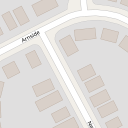
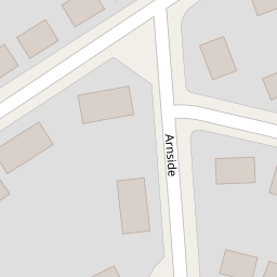
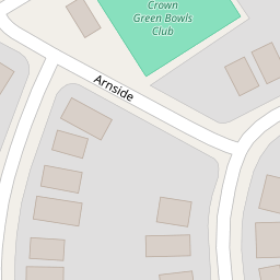


Leaflet © OpenStreetMap contributors
The heatmap indicates the level of crime in the area. The color of the heatmap indicates the crime severity and recency.
Metrics Year-on-Year
- Average area value
- 207,988.00 £Increased by 43.60 %
- Average area rental value
- 804.00 £/moIncreased by 16.86 %
- Est rental Yield
- 4.64 %Decreased by 18.60 %
- Crime Rate
- 1.00 %Unchanged by 0.00 %
from 144,838.00 £
from 688.00 £/mo
from 5.70 %
from 1.00 %
Nearby Schools
| Name | Type | Ofsted | Distance |
|---|---|---|---|
| Litherland Moss Children'S Centre | Children's Centre | 0.43 KM | |
| Litherland Moss Primary School | Academy Converter | 0.50 KM | |
| Rowan Park School | Community Special School | Outstanding | 0.69 KM |
| The Salesian Academy Of St John Bosco | Academy Sponsor Led | 0.71 KM | |
| St Robert Bellarmine Catholic Primary School | Voluntary Aided School | Outstanding | 0.78 KM |
Images
Nearby Streets
| Name | Average Price | Average Sqft | Distance |
|---|---|---|---|
| Keswick Drive | £ 0 | 0 | 0.00 KM |
| Sefton Moss Lane | £ 0 | 0 | 0.00 KM |
| Boundary Road | £ 0 | 0 | 0.00 KM |
| Spencer Place | £ 150,000 | 0 | 0.00 KM |
| Saint Dunstans Grove | £ 135,000 | 0 | 0.00 KM |
Nearby Transport
| Name | NLC | TLC | Distance |
|---|---|---|---|
| Orrell Park | 2247 | OPK | 2.52 KM |
| Bootle New Strand | 2195 | BNW | 2.66 KM |
| Seaforth And Litherland | 2250 | SFL | 2.69 KM |
| Walton (Merseyside) | 2251 | WAO | 2.72 KM |
| Rice Lane | 2131 | RIL | 2.88 KM |
Nearby Listings
| Address | Price | Type | Score | Distance |
|---|---|---|---|---|
| Thirlmere Drive, Liverpool, L21 | £ 200,000 | BUY | Unknown | 0.12 KM |
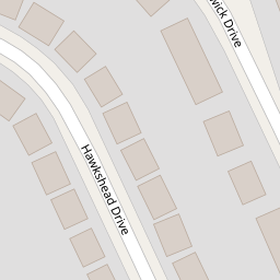
| Hawkshead Drive, Liverpool | £ 249,999 | BUY | 7 / 10 | 0.16 KM |
| Hawkshead Drive, Liverpool | £ 180,000 | BUY | 6 / 10 | 0.18 KM |
| Hawkshead Drive, Liverpool | £ 220,000 | BUY | 7 / 10 | 0.20 KM |
| Keswick Drive, Litherland, Liverpool, L21 | £ 200,000 | BUY | 7 / 10 | 0.21 KM |
Nearby Properties
| Address | Price | Distance |
|---|---|---|
| 2 Arnside | £ 130,000 | 0.00 KM |
| 3 Arnside | £ 210,000 | 0.00 KM |
| 16 Arnside | £ 126,500 | 0.00 KM |
| 6 Arnside | £ 141,000 | 0.00 KM |
| 12 Arnside | £ 235,000 | 0.00 KM |