UN
38 Avon Court
£ 101,000
Description
We don't have a Description for this property.
- Bedrooms
- 2
- Bathrooms
- 0
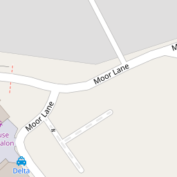
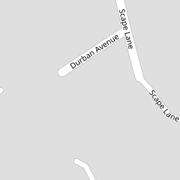
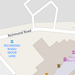
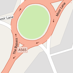
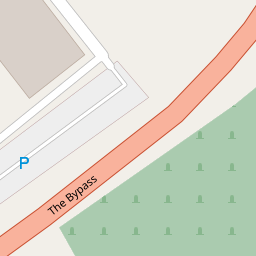
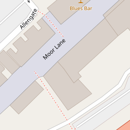

Leaflet © OpenStreetMap contributors
The heatmap indicates the level of crime in the area. The color of the heatmap indicates the crime severity and recency.
Metrics Year-on-Year
- Average area value
- 376,936.00 £Increased by 1.71 %
- Average area rental value
- 1,412.00 £/moIncreased by 13.87 %
- Est rental Yield
- 4.50 %Increased by 11.94 %
- Crime Rate
- 14.00 %Unchanged by 0.00 %
from 370,600.00 £
from 1,240.00 £/mo
from 4.02 %
from 14.00 %
Nearby Schools
| Name | Type | Ofsted | Distance |
|---|---|---|---|
| Sacred Heart Catholic College | Voluntary Aided School | Requires improvement | 0.37 KM |
| St Luke'S Halsall Church Of England Primary School | Voluntary Aided School | Good | 0.45 KM |
| Merchant Taylors' Girls' School | Other Independent School | 0.48 KM | |
| Crosby High School | Community Special School | Good | 0.57 KM |
| St. Mary'S College | Other Independent School | 0.63 KM |
Images
Nearby Streets
| Name | Average Price | Average Sqft | Distance |
|---|---|---|---|
| Moor Lane | £ 0 | 0 | 0.00 KM |
| Mayfair Avenue | £ 0 | 0 | 0.00 KM |
| Wembley Road | £ 0 | 0 | 0.00 KM |
| Tudor Road | £ 340,000 | 0 | 0.00 KM |
| Belvidere Road | £ 500,000 | 0 | 0.00 KM |
Nearby Transport
| Name | NLC | TLC | Distance |
|---|---|---|---|
| Blundellsands And Crosby | 2123 | BLN | 1.90 KM |
| Waterloo (Merseyside) | 2133 | WLO | 2.08 KM |
| Hall Road | 2229 | HLR | 2.90 KM |
| Seaforth And Litherland | 2250 | SFL | 3.64 KM |
| Hightown | 2356 | HTO | 5.09 KM |
Nearby Listings
| Address | Price | Type | Score | Distance |
|---|---|---|---|---|
| Avon Court, Liverpool, Merseyside, L23 | £ 180,000 | BUY | Unknown | 0.00 KM |
| Avon Court, Crosby | £ 155,000 | BUY | 7 / 10 | 0.01 KM |
| Durban Avenue, Liverpool, Merseyside, L23 | £ 200,000 | BUY | 5 / 10 | 0.08 KM |
| Durban Avenue, Liverpool | £ 200,000 | BUY | 6 / 10 | 0.08 KM |
| De Villiers Avenue, Liverpool | £ 425,000 | BUY | 7 / 10 | 0.15 KM |
Nearby Properties
| Address | Price | Distance |
|---|---|---|
| 42 Avon Court | £ 98,500 | 0.00 KM |
| 39 Avon Court | £ 120,000 | 0.00 KM |
| 44 Avon Court | £ 115,000 | 0.00 KM |
| 41 Avon Court | £ 180,000 | 0.00 KM |
| 45 Avon Court | £ 148,000 | 0.00 KM |