UN
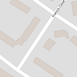
41 Francis Close
£ 82,000
Description
We don't have a Description for this property.
- Bedrooms
- 2
- Bathrooms
- 0
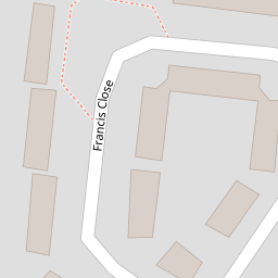

Leaflet © OpenStreetMap contributors
The heatmap indicates the level of crime in the area. The color of the heatmap indicates the crime severity and recency.
Metrics Year-on-Year
- Average area value
- 290,444.00 £Increased by 45.57 %
- Average area rental value
- 1,060.00 £/moIncreased by 29.74 %
- Est rental Yield
- 4.38 %Decreased by 10.79 %
- Crime Rate
- 21.00 %Unchanged by 0.00 %
from 199,519.00 £
from 817.00 £/mo
from 4.91 %
from 21.00 %
Nearby Schools
| Name | Type | Ofsted | Distance |
|---|---|---|---|
| Ormiston Chadwick Academy | Academy Sponsor Led | Outstanding | 0.63 KM |
| St Michaels Catholic Primary School | Voluntary Aided School | Good | 0.73 KM |
| Ditton Children'S Centre | Children's Centre | 0.91 KM | |
| Ashley High School | Community Special School | Outstanding | 1.04 KM |
| Aspiring Foundations Federated Nursery Schools - Ditton Nursery School | Local Authority Nursery School | Good | 1.16 KM |
Images
Nearby Streets
| Name | Average Price | Average Sqft | Distance |
|---|---|---|---|
| Nicholas Road | £ 170,000 | 0 | 0.00 KM |
| Appleby Close | £ 140,000 | 0 | 0.00 KM |
| Saint Michael's Road | £ 89,492 | 0 | 0.00 KM |
| St. Michaels View | £ 0 | 0 | 0.00 KM |
| Somerville Road | £ 120,000 | 0 | 0.00 KM |
Nearby Transport
| Name | NLC | TLC | Distance |
|---|---|---|---|
| Hough Green | 2303 | HGN | 1.52 KM |
| Widnes | 2391 | WID | 3.42 KM |
| Runcorn | 2291 | RUN | 4.08 KM |
| Rainhill | 2296 | RNH | 5.56 KM |
| Whiston | 2161 | WHN | 6.41 KM |
Nearby Listings
| Address | Price | Type | Score | Distance |
|---|---|---|---|---|
| Nicholas Road, Widnes, WA8 | £ 159,950 | BUY | 6 / 10 | 0.13 KM |
| Nicholas Road, Widnes, WA8 8ST | £ 210,000 | BUY | 7 / 10 | 0.14 KM |
| Nicholas Road,Widnes,WA8 8ST | £ 220,000 | BUY | 6 / 10 | 0.14 KM |
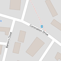
| Coronation Drive, Widnes | £ 140,000 | BUY | 7 / 10 | 0.16 KM |
| Blundell Road, Widnes | £ 230,000 | BUY | Unknown | 0.24 KM |
Nearby Properties
| Address | Price | Distance |
|---|---|---|
| 34 Francis Close | £ 95,000 | 0.00 KM |
| 16 Francis Close | £ 120,000 | 0.00 KM |
| 11 Francis Close | £ 68,000 | 0.00 KM |
| 2 Francis Close | £ 116,000 | 0.00 KM |
| 5 Francis Close | £ 95,000 | 0.00 KM |