UN
2 Foxholes Road
£ 38,500
Description
We don't have a Description for this property.
- Bedrooms
- 1
- Bathrooms
- 0


Leaflet © OpenStreetMap contributors
The heatmap indicates the level of crime in the area. The color of the heatmap indicates the crime severity and recency.
Metrics Year-on-Year
- Average area value
- 419,000.00 £Increased by 9.74 %
- Average area rental value
- 1,467.00 £/moDecreased by 6.50 %
- Est rental Yield
- 4.20 %Decreased by 14.81 %
- Crime Rate
- 4.00 %Unchanged by 0.00 %
from 381,826.00 £
from 1,569.00 £/mo
from 4.93 %
from 4.00 %
Nearby Schools
| Name | Type | Ofsted | Distance |
|---|---|---|---|
| Morecambe Bay Academy | Academy Sponsor Led | 0.61 KM | |
| Lancaster Road Primary School | Community School | Good | 0.92 KM |
| St Mary'S Catholic Primary School, Morecambe | Voluntary Aided School | Good | 0.97 KM |
| Great Wood Primary School | Community School | Good | 0.99 KM |
| Poulton-Le-Sands Church Of England Primary School | Voluntary Aided School | Good | 1.50 KM |
Images
Nearby Streets
| Name | Average Price | Average Sqft | Distance |
|---|---|---|---|
| Broadway | £ 306,667 | 0 | 0.00 KM |
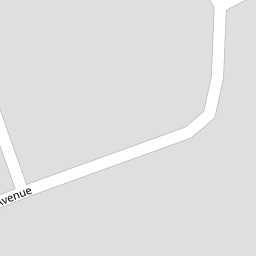
| Berwyn Avenue | £ 0 | 0 | 0.00 KM |
| St Andrews Grove | £ 350,000 | 0 | 0.00 KM |
| Princes Crescent | £ 155,000 | 0 | 0.00 KM |
| Lansdowne Grove | £ 145,000 | 0 | 0.00 KM |
Nearby Transport
| Name | NLC | TLC | Distance |
|---|---|---|---|
| Bare Lane | 2690 | BAR | 1.06 KM |
| Morecambe | 2695 | MCM | 2.78 KM |
| Lancaster | 2685 | LAN | 5.13 KM |
| Heysham Port | 2691 | HHB | 8.93 KM |
Nearby Listings
| Address | Price | Type | Score | Distance |
|---|---|---|---|---|
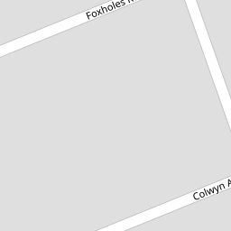
| Foxholes Road, Bare, Morecambe | £ 295,000 | BUY | 7 / 10 | 0.01 KM |
| Colwyn Avenue, Bare, Morecambe | £ 269,950 | BUY | Unknown | 0.05 KM |
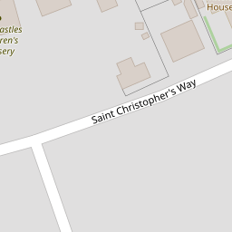
| St. Christophers Way, Morecambe, LA4 | £ 250,000 | BUY | 6 / 10 | 0.10 KM |
| Marine Road East, Bare, Morecambe | £ 435,000 | BUY | Unknown | 0.12 KM |
| St Christophers Way, Bare, Morecambe | £ 275,000 | BUY | 7 / 10 | 0.14 KM |
Nearby Properties
| Address | Price | Distance |
|---|---|---|
| 12 Foxholes Road | £ 249,950 | 0.00 KM |
| 33 Foxholes Road | £ 180,000 | 0.00 KM |
| 45 Foxholes Road | £ 215,000 | 0.00 KM |
| 23 Foxholes Road | £ 110,000 | 0.00 KM |
| 43 Foxholes Road | £ 182,000 | 0.00 KM |