UN
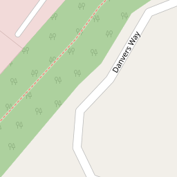
34 Danvers Way
£ 212,500
Description
We don't have a Description for this property.
- Bedrooms
- 3
- Bathrooms
- 0
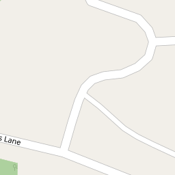
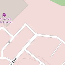
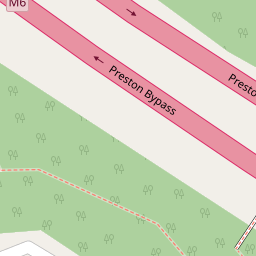
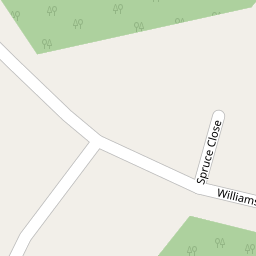

Leaflet © OpenStreetMap contributors
The heatmap indicates the level of crime in the area. The color of the heatmap indicates the crime severity and recency.
Metrics Year-on-Year
- Average area value
- 255,000.00 £Decreased by 10.10 %
- Average area rental value
- 1,005.00 £/moIncreased by 12.29 %
- Est rental Yield
- 4.73 %Increased by 24.80 %
- Crime Rate
- 7.00 %Unchanged by 0.00 %
from 283,662.00 £
from 895.00 £/mo
from 3.79 %
from 7.00 %
Nearby Schools
| Name | Type | Ofsted | Distance |
|---|---|---|---|
| Longsands Community Primary School | Community School | Good | 1.09 KM |
| Sherwood Primary School | Community School | Outstanding | 1.81 KM |
| Holme Slack Community Primary School | Community School | Good | 1.95 KM |
| Brookfield Community Primary School | Community School | Good | 2.01 KM |
| Sure Start Preston East Children'S Centre | Children's Centre | 2.38 KM |
Images
Nearby Streets
| Name | Average Price | Average Sqft | Distance |
|---|---|---|---|
| Almond Close | £ 325,000 | 0 | 0.00 KM |
| Cherry Close | £ 320,000 | 0 | 0.00 KM |
| The Brambles | £ 0 | 0 | 0.00 KM |
| The Warren | £ 0 | 0 | 0.00 KM |
| Willow Gate | £ 706,000 | 0 | 0.00 KM |
Nearby Transport
| Name | NLC | TLC | Distance |
|---|---|---|---|
| Preston (Lancs) | 2753 | PRE | 5.25 KM |
| Bamber Bridge | 2561 | BMB | 7.82 KM |
| Lostock Hall | 2689 | LOH | 7.87 KM |
Nearby Listings
| Address | Price | Type | Score | Distance |
|---|---|---|---|---|
| Danvers Way, Fulwood, Preston | £ 250,000 | BUY | Unknown | 0.08 KM |
| Danvers Way, Fulwood, Preston | £ 240,000 | BUY | 6 / 10 | 0.08 KM |
| Danvers Way, Fulwood, Preston | £ 215,000 | BUY | 6 / 10 | 0.08 KM |
| Danvers Way, Fulwood, Preston, PR2 9LN | £ 225,000 | BUY | 7 / 10 | 0.08 KM |
| Middleton Road, Fulwood, Preston, Lancashire, PR2 | £ 180,000 | BUY | Unknown | 0.15 KM |
Nearby Properties
| Address | Price | Distance |
|---|---|---|
| 28 Danvers Way | £ 194,500 | 0.00 KM |
| 10 Danvers Way | £ 205,000 | 0.00 KM |
| 48 Danvers Way | £ 195,500 | 0.00 KM |
| 38 Danvers Way | £ 180,000 | 0.00 KM |
| 20 Danvers Way | £ 178,000 | 0.00 KM |