UN
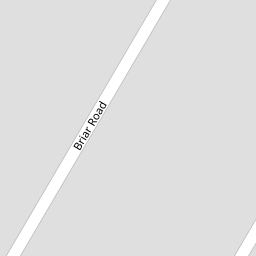
6 Briar Road
£ 170,000
Description
We don't have a Description for this property.
- Bedrooms
- 3
- Bathrooms
- 0


Leaflet © OpenStreetMap contributors
The heatmap indicates the level of crime in the area. The color of the heatmap indicates the crime severity and recency.
Metrics Year-on-Year
- Average area value
- 348,937.00 £Increased by 2.33 %
- Average area rental value
- 1,220.00 £/moIncreased by 11.01 %
- Est rental Yield
- 4.20 %Increased by 8.53 %
- Crime Rate
- 62.00 %Unchanged by 0.00 %
from 340,998.00 £
from 1,099.00 £/mo
from 3.87 %
from 62.00 %
Nearby Schools
| Name | Type | Ofsted | Distance |
|---|---|---|---|
| Ainsdale St John'S Church Of England Primary School | Voluntary Aided School | Outstanding | 0.40 KM |
| Kings Meadow Primary School And Early Years Education Centre | Community School | Good | 0.64 KM |
| Kings Meadow Children'S Centre | Children's Centre Linked Site | 0.64 KM | |
| Merefield School | Community Special School | Outstanding | 1.54 KM |
| Shoreside Primary School | Academy Sponsor Led | 1.96 KM |
Images
Nearby Streets
| Name | Average Price | Average Sqft | Distance |
|---|---|---|---|
| Briar Road | £ 245,000 | 0 | 0.00 KM |
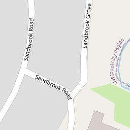
| Sandbrook Grove | £ 0 | 0 | 0.00 KM |
| Wentworth Close | £ 339,499 | 0 | 0.00 KM |
| Greenford Road | £ 0 | 0 | 0.00 KM |
| Segar's Lane | £ 308,750 | 0 | 0.00 KM |
Nearby Transport
| Name | NLC | TLC | Distance |
|---|---|---|---|
| Ainsdale | 2350 | ANS | 1.04 KM |
| Hillside | 2231 | HIL | 3.00 KM |
| Birkdale | 2352 | BDL | 4.68 KM |
| Freshfield | 2355 | FRE | 5.36 KM |
| Formby | 2354 | FBY | 6.28 KM |
Nearby Listings
| Address | Price | Type | Score | Distance |
|---|---|---|---|---|
| Orchard Lane, Ainsdale, Merseyside, PR8 | £ 195,000 | BUY | Unknown | 0.10 KM |
| Orchard Lane, Southport, Merseyside, PR8 | £ 200,000 | BUY | Unknown | 0.13 KM |
| Staveley Road, Southport, Merseyside, PR8 | £ 284,995 | BUY | Unknown | 0.21 KM |
| St. Johns Court, Liverpool Road, Southport, Merseyside, PR8 | £ 169,995 | BUY | 5 / 10 | 0.24 KM |
| Staveley Road, Southport | £ 180,000 | BUY | 7 / 10 | 0.28 KM |
Nearby Properties
| Address | Price | Distance |
|---|---|---|
| 28 Briar Road | £ 130,000 | 0.00 KM |
| 27 Briar Road | £ 138,000 | 0.00 KM |
| 46 Briar Road | £ 170,000 | 0.00 KM |
| 50 Briar Road | £ 81,000 | 0.00 KM |
| 16 Briar Road | £ 116,000 | 0.00 KM |