UN
15 Kingswood Park
£ 232,500
Description
We don't have a Description for this property.
- Bedrooms
- 3
- Bathrooms
- 0


Leaflet © OpenStreetMap contributors
The heatmap indicates the level of crime in the area. The color of the heatmap indicates the crime severity and recency.
Metrics Year-on-Year
- Average area value
- 337,276.00 £Decreased by 6.99 %
- Average area rental value
- 7,147.00 £/moIncreased by 653.90 %
- Est rental Yield
- 25.43 %Increased by 709.87 %
- Crime Rate
- 2.00 %Unchanged by 0.00 %
from 362,631.00 £
from 948.00 £/mo
from 3.14 %
from 2.00 %
Nearby Schools
| Name | Type | Ofsted | Distance |
|---|---|---|---|
| St Teresa'S Catholic Infant And Nursery School | Voluntary Aided School | Good | 1.65 KM |
| Birkdale Primary School | Community School | Good | 2.02 KM |
| Linaker Primary School | Community School | Requires improvement | 2.08 KM |
| Greenbank High School | Academy Converter | 2.12 KM | |
| Linaker Children'S Centre | Children's Centre | 2.22 KM |
Images
Nearby Streets
| Name | Average Price | Average Sqft | Distance |
|---|---|---|---|
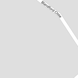
| Blandford Close | £ 550,000 | 0 | 0.00 KM |
| Ascot Close | £ 0 | 0 | 0.00 KM |
| Priory Gardens | £ 549,997 | 0 | 0.00 KM |
| A565 | £ 0 | 0 | 0.00 KM |
| The Walk | £ 195,000 | 0 | 0.00 KM |
Nearby Transport
| Name | NLC | TLC | Distance |
|---|---|---|---|
| Birkdale | 2352 | BDL | 1.05 KM |
| Hillside | 2231 | HIL | 2.08 KM |
| Southport | 2262 | SOP | 2.20 KM |
| Ainsdale | 2350 | ANS | 4.88 KM |
| Meols Cop | 2357 | MEC | 5.08 KM |
Nearby Listings
| Address | Price | Type | Score | Distance |
|---|---|---|---|---|
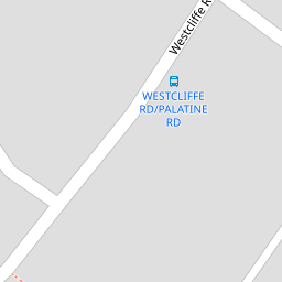
| St Wyburn 26 Westcliffe Road, PR8 2TG | £ 300,000 | BUY | 7 / 10 | 0.11 KM |
| Westcliffe Road, Birkdale, Southport | £ 349,950 | BUY | 7 / 10 | 0.12 KM |
| Westcliffe Road, Southport, Merseyside, PR8 | £ 360,000 | BUY | 7 / 10 | 0.14 KM |
| Blandford Close, Birkdale, Southport, Merseyside, PR8 2DB | £ 1,150,000 | BUY | 8 / 10 | 0.14 KM |
| St. Wyburn, 26 Westcliffe Road, Southport, Merseyside, PR8 | £ 300,000 | BUY | 7 / 10 | 0.16 KM |
Nearby Properties
| Address | Price | Distance |
|---|---|---|
| 20 Kingswood Park | £ 330,000 | 0.00 KM |
| 21 Kingswood Park | £ 249,000 | 0.00 KM |
| 15 Kingswood Park | £ 232,500 | 0.00 KM |
| 12 Kingswood Park | £ 165,000 | 0.00 KM |
| 23 Kingswood Park | £ 240,000 | 0.00 KM |