UN
128 Gray Street
£ 41,000
Description
We don't have a Description for this property.
- Bedrooms
- 3
- Bathrooms
- 0

Leaflet © OpenStreetMap contributors
The heatmap indicates the level of crime in the area. The color of the heatmap indicates the crime severity and recency.
Metrics Year-on-Year
- Average area value
- 176,574.00 £Increased by 40.31 %
- Average area rental value
- 768.00 £/moIncreased by 3.78 %
- Est rental Yield
- 5.22 %Decreased by 26.06 %
- Crime Rate
- 30.00 %Unchanged by 0.00 %
from 125,845.00 £
from 740.00 £/mo
from 7.06 %
from 30.00 %
Nearby Schools
| Name | Type | Ofsted | Distance |
|---|---|---|---|
| Our Lady Star Of The Sea Catholic Primary School | Voluntary Aided School | Good | 0.33 KM |
| Seaforth Children'S Centre | Children's Centre | 0.68 KM | |
| Thomas Gray Primary School | Community School | Requires improvement | 0.81 KM |
| Rimrose Hope Cofe Primary School | Voluntary Controlled School | Good | 0.88 KM |
| All Saints Catholic Primary School | Voluntary Aided School | Good | 0.93 KM |
Images
Nearby Streets
| Name | Average Price | Average Sqft | Distance |
|---|---|---|---|
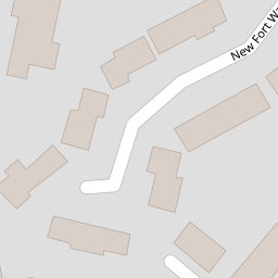
| New Fort Way | £ 0 | 0 | 0.00 KM |
| Snowdrop Mews | £ 0 | 0 | 0.00 KM |
| Bibby's Lane | £ 100,000 | 0 | 0.00 KM |
| St. Joans Close | £ 0 | 0 | 0.00 KM |
| Balfour Road | £ 0 | 0 | 0.00 KM |
Nearby Transport
| Name | NLC | TLC | Distance |
|---|---|---|---|
| Seaforth And Litherland | 2250 | SFL | 0.59 KM |
| Bootle New Strand | 2195 | BNW | 1.32 KM |
| Bootle Oriel Road | 2239 | BOT | 1.85 KM |
| Waterloo (Merseyside) | 2133 | WLO | 2.85 KM |
| Bank Hall | 2238 | BAH | 3.19 KM |
Nearby Listings
| Address | Price | Type | Score | Distance |
|---|---|---|---|---|
| Gray Street, Bootle, Merseyside, L20 | £ 60,000 | BUY | 4 / 10 | 0.00 KM |
| Gray Street, Bootle, Merseyside, L20 | £ 60,000 | BUY | 3 / 10 | 0.02 KM |
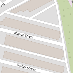
| Waller Street, Bootle, Merseyside, L20 | £ 80,000 | BUY | Unknown | 0.12 KM |
| Moore Street, Bootle, Liverpool, Merseyside | £ 100,000 | BUY | 4 / 10 | 0.16 KM |
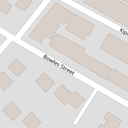
| Bowles Street, Bootle | £ 90,000 | BUY | 4 / 10 | 0.17 KM |
Nearby Properties
| Address | Price | Distance |
|---|---|---|
| 98 Gray Street | £ 87,000 | 0.00 KM |
| 96 Gray Street | £ 76,000 | 0.00 KM |
| 126 Gray Street | £ 54,000 | 0.00 KM |
| 72 Gray Street | £ 75,000 | 0.00 KM |
| 74 Gray Street | £ 27,000 | 0.00 KM |