UN
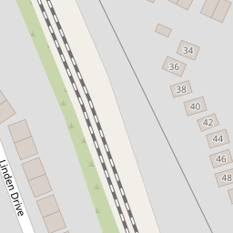
21 Linden Drive
£ 197,500
Description
We don't have a Description for this property.
- Bedrooms
- 3
- Bathrooms
- 0

Leaflet © OpenStreetMap contributors
The heatmap indicates the level of crime in the area. The color of the heatmap indicates the crime severity and recency.
Metrics Year-on-Year
- Average area value
- 243,499.00 £Increased by 1.01 %
- Average area rental value
- 850.00 £/moIncreased by 17.73 %
- Est rental Yield
- 4.19 %Increased by 16.71 %
- Crime Rate
- 2.00 %Unchanged by 0.00 %
from 241,056.00 £
from 722.00 £/mo
from 3.59 %
from 2.00 %
Nearby Schools
| Name | Type | Ofsted | Distance |
|---|---|---|---|
| St Michael And All Angels Catholic Primary School | Voluntary Aided School | Good | 1.09 KM |
| Townfield Primary School | Academy Converter | Good | 1.14 KM |
| Prenton Children'S Centre | Children's Centre Linked Site | 1.20 KM | |
| Foxfield School | Community Special School | Good | 1.32 KM |
| Prenton Primary School | Community School | Good | 1.40 KM |
Images
Nearby Streets
| Name | Average Price | Average Sqft | Distance |
|---|---|---|---|
| Stretton Close | £ 250,000 | 0 | 0.00 KM |
| Hargrave Avenue | £ 155,000 | 0 | 0.00 KM |
| OvertonClose | £ 250,000 | 0 | 0.00 KM |
| Springfield Close | £ 155,000 | 0 | 0.00 KM |
Nearby Transport
| Name | NLC | TLC | Distance |
|---|---|---|---|
| Upton (Merseyside) | 2141 | UPT | 3.04 KM |
| Birkenhead North | 2145 | BKN | 4.24 KM |
| Heswall | 2138 | HSW | 4.26 KM |
| Birkenhead Park | 2220 | BKP | 4.42 KM |
| Bidston | 2136 | BID | 4.92 KM |
Nearby Listings
| Address | Price | Type | Score | Distance |
|---|---|---|---|---|
| Linden Drive, Prenton, Wirral | £ 200,000 | BUY | 7 / 10 | 0.08 KM |
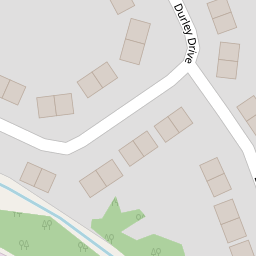
| Durley Drive, Prenton, Wirral | £ 230,000 | BUY | 7 / 10 | 0.09 KM |
| Durley Drive, Prenton, Wirral | £ 200,000 | BUY | Unknown | 0.24 KM |
| Kindale Road, Prenton, Wirral | £ 220,000 | BUY | Unknown | 0.24 KM |
| Palmwood Close, Prenton | £ 250,000 | BUY | Unknown | 0.25 KM |
Nearby Properties
| Address | Price | Distance |
|---|---|---|
| 14 Linden Drive | £ 154,000 | 0.00 KM |
| 12 Linden Drive | £ 167,500 | 0.00 KM |
| 6 Linden Drive | £ 165,000 | 0.00 KM |
| 27 Linden Drive | £ 110,000 | 0.00 KM |
| 23 Linden Drive | £ 177,000 | 0.00 KM |