UN
3 Caroland Close
£ 315,000
Description
We don't have a Description for this property.
- Bedrooms
- 3
- Bathrooms
- 0
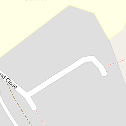
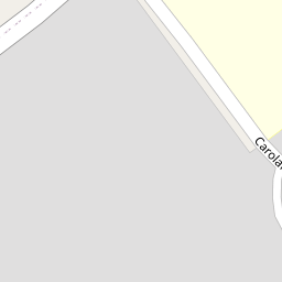


Leaflet © OpenStreetMap contributors
The heatmap indicates the level of crime in the area. The color of the heatmap indicates the crime severity and recency.
Metrics Year-on-Year
- Average area value
- 257,097.00 £Decreased by 8.25 %
- Average area rental value
- 956.00 £/moIncreased by 1.92 %
- Est rental Yield
- 4.46 %Increased by 10.95 %
- Crime Rate
- 27.00 %Unchanged by 0.00 %
from 280,201.00 £
from 938.00 £/mo
from 4.02 %
from 27.00 %
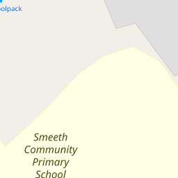
Nearby Schools
| Name | Type | Ofsted | Distance |
|---|---|---|---|
| Smeeth Community Primary School | Foundation School | Requires improvement | 0.10 KM |
| Caldecott Foundation School | Non-maintained Special School | Good | 1.78 KM |
| Brabourne Church Of England Primary School | Voluntary Controlled School | Good | 2.86 KM |
| Aldington Primary School | Foundation School | Good | 4.19 KM |
| Sellindge Primary School | Community School | Outstanding | 4.35 KM |
Images
Nearby Streets
| Name | Average Price | Average Sqft | Distance |
|---|---|---|---|
| The Chestnuts | £ 430,000 | 0 | 0.00 KM |
| Lilyvale Road | £ 0 | 0 | 0.00 KM |
Nearby Transport
| Name | NLC | TLC | Distance |
|---|---|---|---|
| Wye | 5031 | WYE | 8.20 KM |
| Westenhanger | 5030 | WHA | 8.36 KM |
Nearby Listings
| Address | Price | Type | Score | Distance |
|---|---|---|---|---|
| Caroland Close, Ashford, TN25 | £ 475,000 | BUY | 7 / 10 | 0.02 KM |
| The Chestnuts, Church Road, Ashford, Kent, TN25 | £ 450,000 | BUY | 6 / 10 | 0.22 KM |
| The Chestnuts, Church Road, Ashford, Kent, TN25 | £ 465,000 | BUY | 7 / 10 | 0.22 KM |
| The Chestnuts, Smeeth, Ashford, Kent TN25 | £ 375,000 | BUY | 5 / 10 | 0.24 KM |
| Church Road, Brabourne Lees | £ 500,000 | BUY | 7 / 10 | 0.24 KM |
Nearby Properties
| Address | Price | Distance |
|---|---|---|
| 3 Caroland Close | £ 315,000 | 0.00 KM |
| 17 Caroland Close | £ 170,000 | 0.00 KM |
| 1 Caroland Close | £ 330,000 | 0.00 KM |
| 15 Caroland Close | £ 241,000 | 0.00 KM |
| Doo-bris | £ 295,000 | 0.25 KM |