UN
5 Knatchbull Way
£ 303,000
Description
We don't have a Description for this property.
- Bedrooms
- 3
- Bathrooms
- 0
- Sqft
- 1,130.00
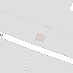
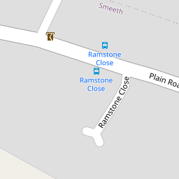
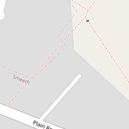

Leaflet © OpenStreetMap contributors
The heatmap indicates the level of crime in the area. The color of the heatmap indicates the crime severity and recency.
Metrics Year-on-Year
- Average area value
- 257,097.00 £Decreased by 8.25 %
- Est sale value
- 372,900.00 £Increased by 14.98 %
- Average area rental value
- 956.00 £/moIncreased by 1.92 %
- Est letting value
- 1,130.00 £/mo
- Est rental Yield
- 4.46 %Increased by 10.95 %
- Crime Rate
- 31.00 %Unchanged by 0.00 %
from 280,201.00 £
from 324,310.00 £
from 938.00 £/mo
from 0.00 £/mo
from 4.02 %
from 31.00 %
Nearby Schools
| Name | Type | Ofsted | Distance |
|---|---|---|---|
| Smeeth Community Primary School | Foundation School | Requires improvement | 1.04 KM |
| Brabourne Church Of England Primary School | Voluntary Controlled School | Good | 1.99 KM |
| Caldecott Foundation School | Non-maintained Special School | Good | 2.76 KM |
| Sellindge Primary School | Community School | Outstanding | 3.63 KM |
| Brook Community Primary School | Foundation School | Requires improvement | 4.85 KM |
Images
Nearby Streets
| Name | Average Price | Average Sqft | Distance |
|---|---|---|---|
| Lilyvale Road | £ 0 | 0 | 0.00 KM |
| The Chestnuts | £ 430,000 | 0 | 0.00 KM |
Nearby Transport
| Name | NLC | TLC | Distance |
|---|---|---|---|
| Westenhanger | 5030 | WHA | 7.55 KM |
| Wye | 5031 | WYE | 8.57 KM |
Nearby Listings
| Address | Price | Type | Score | Distance |
|---|---|---|---|---|
| Knatchbull Way, Ashford, Kent, TN25 | £ 399,500 | BUY | 7 / 10 | 0.00 KM |
| Knatchbull Way, Brabourne Lees, Ashford, Kent, TN25 | £ 415,000 | BUY | 7 / 10 | 0.08 KM |
| Plain Road, Smeeth, Ashford, Kent, TN25 | £ 350,000 | BUY | 6 / 10 | 0.09 KM |
| Canterbury Road, Brabourne Lees, Ashford, Kent | £ 585,000 | BUY | Unknown | 0.18 KM |
| Plain Road, Ashford, Kent, TN25 | £ 425,000 | BUY | 7 / 10 | 0.21 KM |
Nearby Properties
| Address | Price | Distance |
|---|---|---|
| 23 Knatchbull Way | £ 390,000 | 0.00 KM |
| 15 Knatchbull Way | £ 218,500 | 0.00 KM |
| 5 Knatchbull Way | £ 303,000 | 0.00 KM |
| 16 Knatchbull Way | £ 325,000 | 0.00 KM |
| 45 Knatchbull Way | £ 249,995 | 0.00 KM |