UN
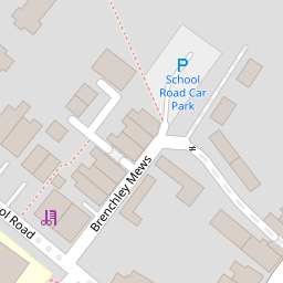
11 Brenchley Mews
£ 198,000
Description
We don't have a Description for this property.
- Bedrooms
- 2
- Bathrooms
- 0
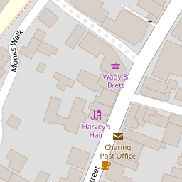
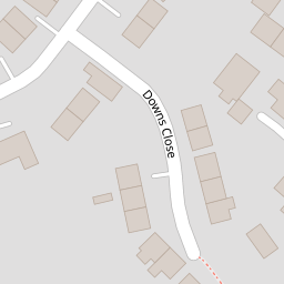
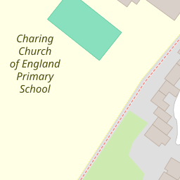
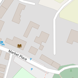

Leaflet © OpenStreetMap contributors
The heatmap indicates the level of crime in the area. The color of the heatmap indicates the crime severity and recency.
Metrics Year-on-Year
- Average area value
- 257,097.00 £Decreased by 8.25 %
- Average area rental value
- 956.00 £/moIncreased by 1.92 %
- Est rental Yield
- 4.46 %Increased by 10.95 %
- Crime Rate
- 138.00 %Unchanged by 0.00 %
from 280,201.00 £
from 938.00 £/mo
from 4.02 %
from 138.00 %
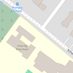
Nearby Schools
| Name | Type | Ofsted | Distance |
|---|---|---|---|
| Charing Church Of England Primary School | Academy Converter | 0.12 KM | |
| Heath Farm School | Other Independent Special School | Good | 4.09 KM |
| Bluebells Children'S Centre | Children's Centre | 5.09 KM | |
| Pluckley Church Of England Primary School | Academy Converter | Good | 6.05 KM |
| Goldwyn School | Foundation Special School | Outstanding | 6.80 KM |
Images
Nearby Streets
| Name | Average Price | Average Sqft | Distance |
|---|---|---|---|
| Downs Close | £ 0 | 0 | 0.00 KM |
| The Hill | £ 975,000 | 0 | 0.00 KM |
| Blackberry Lane | £ 465,000 | 0 | 0.00 KM |
| Alderbed Close | £ 650,000 | 0 | 0.00 KM |
| Wicken Lane | £ 0 | 0 | 0.00 KM |
Nearby Transport
| Name | NLC | TLC | Distance |
|---|---|---|---|
| Charing (Kent) | 5097 | CHG | 0.57 KM |
| Pluckley | 5225 | PLC | 8.02 KM |
| Lenham | 5111 | LEN | 9.89 KM |
Nearby Listings
| Address | Price | Type | Score | Distance |
|---|---|---|---|---|
| Central Charing | £ 250,000 | BUY | 5 / 10 | 0.03 KM |
| Central Charing | £ 320,000 | BUY | 5 / 10 | 0.10 KM |
| Hope Haven, Charing, Kent | £ 575,000 | BUY | Unknown | 0.14 KM |
| High Street, Charing, Ashford, Kent, TN27 | £ 565,000 | BUY | 6 / 10 | 0.14 KM |
| High Street, Charing, TN27 0HU | £ 360,000 | BUY | 7 / 10 | 0.17 KM |
Nearby Properties
| Address | Price | Distance |
|---|---|---|
| 13 Brenchley Mews | £ 159,000 | 0.00 KM |
| 11 Brenchley Mews | £ 198,000 | 0.00 KM |
| 3 Brenchley Mews | £ 290,000 | 0.00 KM |
| 2 Brenchley Mews | £ 270,000 | 0.00 KM |
| 1 Brenchley Mews | £ 280,000 | 0.00 KM |