UN
9 Maidstone Road
£ 340,000
Description
We don't have a Description for this property.
- Bedrooms
- 4
- Bathrooms
- 0
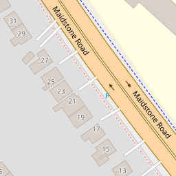
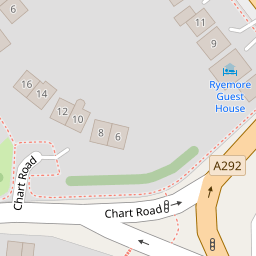
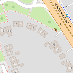
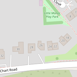

Leaflet © OpenStreetMap contributors
The heatmap indicates the level of crime in the area. The color of the heatmap indicates the crime severity and recency.
Metrics Year-on-Year
- Average area value
- 427,986.00 £Increased by 18.87 %
- Average area rental value
- 1,156.00 £/moDecreased by 9.48 %
- Est rental Yield
- 3.24 %Decreased by 23.94 %
- Crime Rate
- 3.00 %Unchanged by 0.00 %
from 360,034.00 £
from 1,277.00 £/mo
from 4.26 %
from 3.00 %
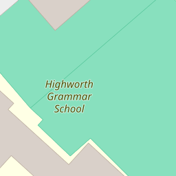
Nearby Schools
| Name | Type | Ofsted | Distance |
|---|---|---|---|
| Highworth Grammar School | Academy Converter | Outstanding | 0.15 KM |
| Ashford, St Mary'S Church Of England Primary School | Voluntary Aided School | Good | 0.32 KM |
| St Teresa'S Catholic Primary School | Academy Converter | Good | 0.43 KM |
| Repton Manor Primary School | Foundation School | Good | 1.21 KM |
| Victoria Road Primary School | Community School | Good | 1.22 KM |
Images
Nearby Streets
| Name | Average Price | Average Sqft | Distance |
|---|---|---|---|
| A292 | £ 315,000 | 0 | 0.00 KM |
| Manor Way | £ 0 | 0 | 0.00 KM |
| Eastern Avenue | £ 317,500 | 0 | 0.00 KM |
| Sir Bernard Padget Avenue | £ 287,500 | 0 | 0.00 KM |
| West Street | £ 220,000 | 0 | 0.00 KM |
Nearby Transport
| Name | NLC | TLC | Distance |
|---|---|---|---|
| Ashford International | 5004 | AFK | 1.86 KM |
| Wye | 5031 | WYE | 8.13 KM |
| Ham Street | 5037 | HMT | 9.55 KM |
Nearby Listings
| Address | Price | Type | Score | Distance |
|---|---|---|---|---|
| Maidstone Road, Ashford, TN24 8UA | £ 750,000 | BUY | 8 / 10 | 0.01 KM |
| Chart Road, Ashford, Kent | £ 215,000 | BUY | 9 / 10 | 0.17 KM |
| Chart Road, Ashford, Kent | £ 325,000 | BUY | 8 / 10 | 0.17 KM |
| Kings Avenue, Ashford, TN23 | £ 400,000 | BUY | 7 / 10 | 0.20 KM |
| Littlebrook Road, Ashford, Kent | £ 350,000 | BUY | 7 / 10 | 0.20 KM |
Nearby Properties
| Address | Price | Distance |
|---|---|---|
| 35 Maidstone Road | £ 238,000 | 0.00 KM |
| 19 Maidstone Road | £ 480,000 | 0.00 KM |
| 37 Maidstone Road | £ 182,000 | 0.00 KM |
| 9 Maidstone Road | £ 340,000 | 0.00 KM |
| 7 Maidstone Road | £ 390,000 | 0.00 KM |