UN
13 Eden Road
£ 225,000
Description
We don't have a Description for this property.
- Bedrooms
- 2
- Bathrooms
- 0
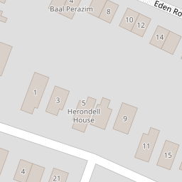
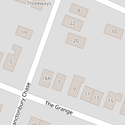
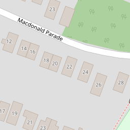

Leaflet © OpenStreetMap contributors
The heatmap indicates the level of crime in the area. The color of the heatmap indicates the crime severity and recency.
Metrics Year-on-Year
- Average area value
- 970,000.00 £Increased by 100.79 %
- Average area rental value
- 1,600.00 £/moDecreased by 26.03 %
- Est rental Yield
- 1.98 %Decreased by 63.13 %
- Crime Rate
- 10.00 %Unchanged by 0.00 %
from 483,087.00 £
from 2,163.00 £/mo
from 5.37 %
from 10.00 %
Nearby Schools
| Name | Type | Ofsted | Distance |
|---|---|---|---|
| Joy Lane Primary Foundation School | Foundation School | Good | 1.42 KM |
| Joy Lane Children'S Centre | Children's Centre | 1.52 KM | |
| St Alphege Church Of England Infant School | Voluntary Controlled School | Good | 2.57 KM |
| Whitstable Junior School | Foundation School | Good | 2.59 KM |
| Whitstable And Seasalter Endowed Church Of England Junior School | Voluntary Aided School | Outstanding | 2.80 KM |
Images
Nearby Streets
| Name | Average Price | Average Sqft | Distance |
|---|---|---|---|
| Freeman's Close | £ 0 | 0 | 0.00 KM |
| Church Court | £ 740,000 | 0 | 0.00 KM |
| Applegarth Park | £ 153,408 | 0 | 0.00 KM |
| Sunray Avenue (CW75) | £ 300,000 | 0 | 0.00 KM |
| The Heights | £ 350,000 | 0 | 0.00 KM |
Nearby Transport
| Name | NLC | TLC | Distance |
|---|---|---|---|
| Whitstable | 5196 | WHI | 3.51 KM |
| Chestfield And Swalecliffe | 5200 | CSW | 7.16 KM |
| Chartham | 5008 | CRT | 9.97 KM |
Nearby Listings
| Address | Price | Type | Score | Distance |
|---|---|---|---|---|
| Eden Road, Seasalter, Whitstable | £ 400,000 | BUY | 6 / 10 | 0.02 KM |
| Eden Road, Seasalter, WHITSTABLE | £ 435,000 | BUY | 8 / 10 | 0.07 KM |
| Macdonald Parade, Seasalter, Whitstable | £ 399,950 | BUY | 5 / 10 | 0.08 KM |
| Macdonald Parade, Whitstable, CT5 | £ 400,000 | BUY | 5 / 10 | 0.09 KM |
| Macdonald Parade, Seasalter, Whitstable | £ 525,000 | BUY | 4 / 10 | 0.12 KM |
Nearby Properties
| Address | Price | Distance |
|---|---|---|
| 5 Eden Road | £ 180,000 | 0.00 KM |
| 12 Eden Road | £ 275,000 | 0.00 KM |
| 24a Eden Road | £ 337,000 | 0.00 KM |
| 10 Eden Road | £ 260,000 | 0.00 KM |
| 13 Eden Road | £ 225,000 | 0.00 KM |