UN
35 Fordwich Place
£ 342,000
Description
We don't have a Description for this property.
- Bedrooms
- 4
- Bathrooms
- 0
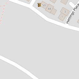
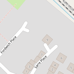
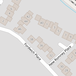

Leaflet © OpenStreetMap contributors
The heatmap indicates the level of crime in the area. The color of the heatmap indicates the crime severity and recency.
Metrics Year-on-Year
- Average area value
- 642,571.00 £Decreased by 5.01 %
- Average area rental value
- 1,045.00 £/moDecreased by 18.93 %
- Est rental Yield
- 1.95 %Decreased by 14.85 %
- Crime Rate
- 52.00 %Unchanged by 0.00 %
from 676,466.00 £
from 1,289.00 £/mo
from 2.29 %
from 52.00 %
Nearby Schools
| Name | Type | Ofsted | Distance |
|---|---|---|---|
| Sandwich Junior School | Community School | Outstanding | 0.32 KM |
| Sandwich Infant School | Academy Converter | 0.67 KM | |
| Sandwich Technology School | Academy Converter | Good | 0.69 KM |
| Sir Roger Manwood'S School | Academy Converter | Outstanding | 0.92 KM |
| Worth Primary School | Academy Converter | 2.06 KM |
Images
Nearby Streets
| Name | Average Price | Average Sqft | Distance |
|---|---|---|---|
| The Butts | £ 465,000 | 0 | 0.00 KM |
| Church Street St. Marys | £ 0 | 0 | 0.00 KM |
| Church Street St. Clements | £ 495,000 | 0 | 0.00 KM |
| Alliss Gardens | £ 458,750 | 0 | 0.00 KM |
| Ramsgate Road | £ 200,000 | 0 | 0.00 KM |
Nearby Transport
| Name | NLC | TLC | Distance |
|---|---|---|---|
| Sandwich | 5026 | SDW | 0.64 KM |
| Minster | 5019 | MSR | 6.81 KM |
| Deal | 5011 | DEA | 8.69 KM |
| Walmer | 5041 | WAM | 9.10 KM |
Nearby Listings
| Address | Price | Type | Score | Distance |
|---|---|---|---|---|
| Hastings Place, Sandwich, CT13 0RE | £ 400,000 | BUY | 8 / 10 | 0.09 KM |
| Fordwich Place, Sandwich | £ 335,000 | BUY | 5 / 10 | 0.12 KM |
| Laburnum Avenue, Sandwich, Kent, CT13 0AU | £ 270,000 | BUY | 6 / 10 | 0.16 KM |
| Brightlingsea Road, Sandwich, Kent, CT13 | £ 275,000 | BUY | Unknown | 0.20 KM |
| Fordwich Place, Sandwich, Kent, CT13 | £ 130,000 | BUY | 5 / 10 | 0.20 KM |
Nearby Properties
| Address | Price | Distance |
|---|---|---|
| 59 Fordwich Place | £ 197,000 | 0.00 KM |
| 35 Fordwich Place | £ 342,000 | 0.00 KM |
| 36 Fordwich Place | £ 345,000 | 0.00 KM |
| 57 Fordwich Place | £ 115,000 | 0.00 KM |
| 49 Fordwich Place | £ 199,950 | 0.00 KM |