UN
16a Sandwich Road
£ 332,000
Description
We don't have a Description for this property.
- Bedrooms
- 3
- Bathrooms
- 0
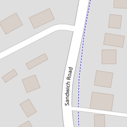
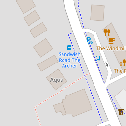

Leaflet © OpenStreetMap contributors
The heatmap indicates the level of crime in the area. The color of the heatmap indicates the crime severity and recency.
Metrics Year-on-Year
- Average area value
- 341,015.00 £Increased by 7.33 %
- Average area rental value
- 1,329.00 £/moIncreased by 18.55 %
- Est rental Yield
- 4.68 %Increased by 10.64 %
- Crime Rate
- 13.00 %Unchanged by 0.00 %
from 317,718.00 £
from 1,121.00 £/mo
from 4.23 %
from 13.00 %
Nearby Schools
| Name | Type | Ofsted | Distance |
|---|---|---|---|
| Whitfield Aspen School | Community School | Good | 0.50 KM |
| Dover Christ Church Academy | Academy Sponsor Led | Requires improvement | 1.41 KM |
| Green Park Community Primary School | Community School | Outstanding | 1.53 KM |
| Buckland & Whitfield Children'S Centre | Children's Centre | 1.63 KM | |
| River Primary School | Community School | Outstanding | 2.09 KM |
Images
Nearby Streets
| Name | Average Price | Average Sqft | Distance |
|---|---|---|---|
| Castle Drive. | £ 338,333 | 0 | 0.00 KM |
| Bramley Gardens | £ 600,000 | 0 | 0.00 KM |
| Joyes Road | £ 288,333 | 0 | 0.00 KM |
| Palmerston Road | £ 0 | 0 | 0.00 KM |
| The Drove | £ 0 | 0 | 0.00 KM |
Nearby Transport
| Name | NLC | TLC | Distance |
|---|---|---|---|
| Kearsney (Kent) | 5038 | KSN | 2.04 KM |
| Dover Priory | 5033 | DVP | 3.84 KM |
| Martin Mill | 5040 | MTM | 6.72 KM |
| Shepherds Well | 5186 | SPH | 7.47 KM |
Nearby Listings
| Address | Price | Type | Score | Distance |
|---|---|---|---|---|
| Sandwich Road, Whitfield, Dover, Kent, CT16 | £ 390,000 | BUY | 7 / 10 | 0.00 KM |
| Sandwich Road, Whitfield, Dover | £ 375,000 | BUY | 6 / 10 | 0.08 KM |
| Sandwich Road, Whitfield, Dover, Kent, CT16 | £ 300,000 | BUY | 6 / 10 | 0.09 KM |
| Singledge Avenue, Whitfield, Dover | £ 310,000 | BUY | 5 / 10 | 0.20 KM |
| Manley Close, Whitfield, Dover | £ 170,000 | BUY | 6 / 10 | 0.23 KM |
Nearby Properties
| Address | Price | Distance |
|---|---|---|
| 42 Sandwich Road | £ 255,000 | 0.00 KM |
| 16a Sandwich Road | £ 332,000 | 0.00 KM |
| 16 Sandwich Road | £ 290,000 | 0.00 KM |
| 14 Sandwich Road | £ 575,000 | 0.00 KM |
| 22 Sandwich Road | £ 156,000 | 0.00 KM |