UN
82 Singledge Lane
£ 375,000
Description
We don't have a Description for this property.
- Bedrooms
- 4
- Bathrooms
- 0


Leaflet © OpenStreetMap contributors
The heatmap indicates the level of crime in the area. The color of the heatmap indicates the crime severity and recency.
Metrics Year-on-Year
- Average area value
- 341,015.00 £Increased by 7.33 %
- Average area rental value
- 1,329.00 £/moIncreased by 18.55 %
- Est rental Yield
- 4.68 %Increased by 10.64 %
- Crime Rate
- 10.00 %Unchanged by 0.00 %
from 317,718.00 £
from 1,121.00 £/mo
from 4.23 %
from 10.00 %
Nearby Schools
| Name | Type | Ofsted | Distance |
|---|---|---|---|
| Whitfield Aspen School | Community School | Good | 1.13 KM |
| The Sallygate School | Other Independent Special School | Good | 1.72 KM |
| River Primary School | Community School | Outstanding | 1.89 KM |
| Temple Ewell Church Of England Primary School | Academy Sponsor Led | Outstanding | 1.92 KM |
| Dover Christ Church Academy | Academy Sponsor Led | Requires improvement | 2.23 KM |
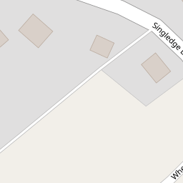
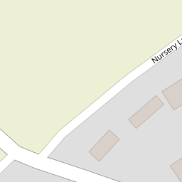
Images
Nearby Streets
| Name | Average Price | Average Sqft | Distance |
|---|---|---|---|
| Bramley Gardens | £ 600,000 | 0 | 0.00 KM |
| Castle Drive. | £ 338,333 | 0 | 0.00 KM |
| The Pier | £ 0 | 0 | 0.00 KM |
| The Drove | £ 0 | 0 | 0.00 KM |
| Palmerston Road | £ 0 | 0 | 0.00 KM |
Nearby Transport
| Name | NLC | TLC | Distance |
|---|---|---|---|
| Kearsney (Kent) | 5038 | KSN | 1.58 KM |
| Dover Priory | 5033 | DVP | 4.51 KM |
| Shepherds Well | 5186 | SPH | 6.65 KM |
| Martin Mill | 5040 | MTM | 7.39 KM |
| Snowdown | 5185 | SWO | 9.83 KM |
Nearby Listings
| Address | Price | Type | Score | Distance |
|---|---|---|---|---|
| Singledge Lane, Whitfield, Dover, Kent | £ 600,000 | BUY | 7 / 10 | 0.02 KM |
| Whitfield | £ 650,000 | BUY | 8 / 10 | 0.09 KM |
| Wheatsheaf Square, Whitfield, Dover | £ 350,000 | BUY | 7 / 10 | 0.11 KM |
| Wheatsheaf Square, Whitfield, Dover, Kent, CT16 | £ 325,000 | BUY | 8 / 10 | 0.11 KM |
| Wheatsheaf Square, Whitfield, Dover, Kent, CT16 | £ 350,000 | BUY | 7 / 10 | 0.11 KM |
Nearby Properties
| Address | Price | Distance |
|---|---|---|
| 88 Singledge Lane | £ 305,000 | 0.00 KM |
| 82 Singledge Lane | £ 375,000 | 0.00 KM |
| 59 Nursery Lane | £ 249,000 | 0.15 KM |
| 69 Nursery Lane | £ 249,995 | 0.15 KM |
| 63 Nursery Lane | £ 360,000 | 0.15 KM |