UN
5 Woodcocks
£ 699,000
Description
We don't have a Description for this property.
- Bedrooms
- 5
- Bathrooms
- 0
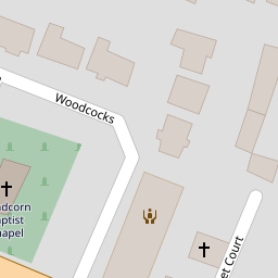
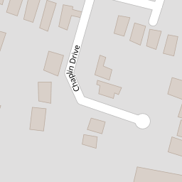
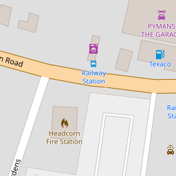

Leaflet © OpenStreetMap contributors
The heatmap indicates the level of crime in the area. The color of the heatmap indicates the crime severity and recency.
Metrics Year-on-Year
- Average area value
- 527,327.00 £Increased by 27.66 %
- Average area rental value
- 1,799.00 £/moIncreased by 9.76 %
- Est rental Yield
- 4.09 %Decreased by 14.08 %
- Crime Rate
- 22.00 %Unchanged by 0.00 %
from 413,063.00 £
from 1,639.00 £/mo
from 4.76 %
from 22.00 %
Nearby Schools
| Name | Type | Ofsted | Distance |
|---|---|---|---|
| Headcorn Primary School | Community School | Good | 0.46 KM |
| Headcorn Children'S Centre | Children's Centre | 0.73 KM | |
| Frittenden Church Of England Primary School | Voluntary Controlled School | Good | 4.90 KM |
| Ulcombe Church Of England Primary School | Voluntary Controlled School | Good | 5.15 KM |
| John Mayne Church Of England Primary School, Biddenden | Voluntary Controlled School | Good | 6.20 KM |
Images
Nearby Streets
| Name | Average Price | Average Sqft | Distance |
|---|---|---|---|
| Ash Way | £ 321,750 | 0 | 0.00 KM |
| Bobbin Close | £ 618,000 | 0 | 0.00 KM |
| Rowan Place | £ 0 | 0 | 0.00 KM |
| Spindle Close | £ 0 | 0 | 0.00 KM |
| The Hardwicks | £ 430,944 | 0 | 0.00 KM |
Nearby Transport
| Name | NLC | TLC | Distance |
|---|---|---|---|
| Headcorn | 5220 | HCN | 0.37 KM |
| Staplehurst | 5228 | SPU | 8.26 KM |
Nearby Listings
| Address | Price | Type | Score | Distance |
|---|---|---|---|---|
| High Street, Headcorn, Kent, TN27 | £ 875,000 | BUY | Unknown | 0.08 KM |
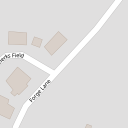
| Forge Lane, Headcorn, Ashford | £ 675,000 | BUY | 7 / 10 | 0.08 KM |
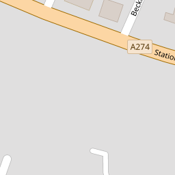
| Station Road, Headcorn, Ashford., Kent | £ 240,000 | BUY | Unknown | 0.12 KM |
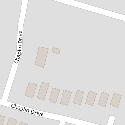
| Chaplin Drive, Headcorn, Ashford | £ 350,000 | BUY | 6 / 10 | 0.17 KM |
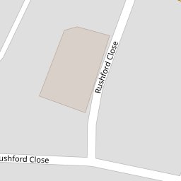
| Rushford Close, Headcorn, Kent | £ 360,000 | BUY | Unknown | 0.18 KM |
Nearby Properties
| Address | Price | Distance |
|---|---|---|
| 7 Woodcocks | £ 485,000 | 0.00 KM |
| 5 Woodcocks | £ 699,000 | 0.00 KM |
| 3 Woodcocks | £ 552,000 | 0.00 KM |
| 4 Woodcocks | £ 500,000 | 0.00 KM |
| 1 Woodcocks | £ 875,000 | 0.01 KM |