UN
2 Dawson Drive
£ 450,000
Description
We don't have a Description for this property.
- Bedrooms
- 4
- Bathrooms
- 0
- Sqft
- 1,045.00
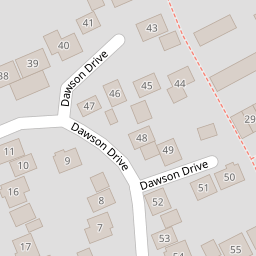
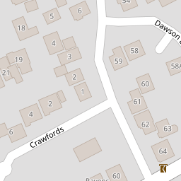
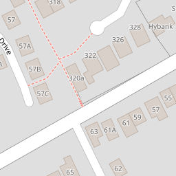

Leaflet © OpenStreetMap contributors
The heatmap indicates the level of crime in the area. The color of the heatmap indicates the crime severity and recency.
Metrics Year-on-Year
- Average area value
- 1,145,000.00 £Increased by 51.85 %
- Est sale value
- 833,910.00 £Increased by 52.58 %
- Average area rental value
- 1,717.00 £/moDecreased by 6.07 %
- Est letting value
- 1,045.00 £/moUnchanged by 0.00 %
- Est rental Yield
- 1.80 %Decreased by 38.14 %
- Crime Rate
- 5.00 %Unchanged by 0.00 %
from 754,053.00 £
from 546,535.00 £
from 1,828.00 £/mo
from 1,045.00 £/mo
from 2.91 %
from 5.00 %
Nearby Schools
| Name | Type | Ofsted | Distance |
|---|---|---|---|
| Hextable Primary School | Community School | Good | 0.74 KM |
| The Annex School House | Other Independent Special School | Good | 1.15 KM |
| Swanley Children'S Centre | Children's Centre | 1.16 KM | |
| Horizon Primary Academy | Academy Sponsor Led | Good | 1.16 KM |
| St Bartholomew'S Catholic Primary School, Swanley | Voluntary Aided School | Good | 1.32 KM |
Images
Nearby Streets
| Name | Average Price | Average Sqft | Distance |
|---|---|---|---|
| The Beeches | £ 0 | 0 | 0.00 KM |
| Main Road | £ 0 | 0 | 0.00 KM |
| New Barn Road | £ 0 | 0 | 0.00 KM |
| Alexandra Close | £ 350,000 | 0 | 0.00 KM |
| Pemberton Gardens | £ 400,000 | 0 | 0.00 KM |
Nearby Transport
| Name | NLC | TLC | Distance |
|---|---|---|---|
| Swanley | 5075 | SAY | 2.05 KM |
| Crayford | 5100 | CRY | 4.22 KM |
| Bexley | 5093 | BXY | 4.57 KM |
| Eynsford | 5065 | EYN | 6.15 KM |
| Albany Park | 5132 | AYP | 6.24 KM |
Nearby Listings
| Address | Price | Type | Score | Distance |
|---|---|---|---|---|
| 40 Dawson Drive, Hextable, Kent, BR8 | £ 575,000 | BUY | 5 / 10 | 0.00 KM |
| Dawson Drive, Swanley, Kent | £ 500,000 | BUY | 7 / 10 | 0.04 KM |
| Dawson Drive, Hextable, Kent, BR8 | £ 525,000 | BUY | 7 / 10 | 0.13 KM |
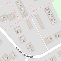
| Claremont Road, Hextable, Swanley | £ 450,000 | BUY | 6 / 10 | 0.13 KM |
| Claremont Road, Hextable | £ 625,000 | BUY | Unknown | 0.14 KM |
Nearby Properties
| Address | Price | Distance |
|---|---|---|
| 8 Dawson Drive | £ 325,000 | 0.00 KM |
| 60 Dawson Drive | £ 192,000 | 0.00 KM |
| 62 Dawson Drive | £ 462,500 | 0.00 KM |
| 47 Dawson Drive | £ 400,000 | 0.00 KM |
| 2 Dawson Drive | £ 450,000 | 0.00 KM |