UN
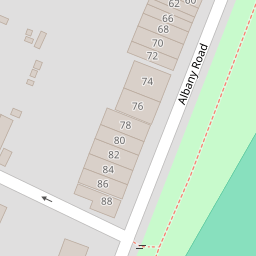
68 Albany Road
£ 360,000
Description
We don't have a Description for this property.
- Bedrooms
- 4
- Bathrooms
- 0
- Sqft
- 1,401.00

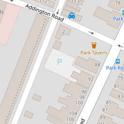
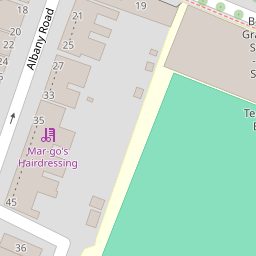


Leaflet © OpenStreetMap contributors
The heatmap indicates the level of crime in the area. The color of the heatmap indicates the crime severity and recency.
Metrics Year-on-Year
- Average area value
- 317,778.00 £Increased by 1.47 %
- Est sale value
- 365,661.00 £Increased by 1.95 %
- Average area rental value
- 1,233.00 £/moIncreased by 2.75 %
- Est letting value
- 1,401.00 £/mo
- Est rental Yield
- 4.66 %Increased by 1.30 %
- Crime Rate
- 5.00 %Unchanged by 0.00 %
from 313,162.00 £
from 358,656.00 £
from 1,200.00 £/mo
from 0.00 £/mo
from 4.60 %
from 5.00 %
Nearby Schools
| Name | Type | Ofsted | Distance |
|---|---|---|---|
| Borden Grammar School | Academy Converter | Good | 0.36 KM |
| Highsted Grammar School | Academy Converter | 0.72 KM | |
| Fulston Manor School | Academy Converter | Good | 0.73 KM |
| St Peter'S Catholic Primary School | Academy Converter | 0.83 KM | |
| The Oaks Infant School | Academy Converter | 0.85 KM |
Images
Nearby Streets
| Name | Average Price | Average Sqft | Distance |
|---|---|---|---|
| Valenciennes Road | £ 375,000 | 0 | 0.00 KM |
| Railway Terrace | £ 0 | 0 | 0.00 KM |
| London Road | £ 243,000 | 0 | 0.00 KM |
| Saint Michaels Close | £ 240,000 | 0 | 0.00 KM |
| Bell Road | £ 134,222 | 0 | 0.00 KM |
Nearby Transport
| Name | NLC | TLC | Distance |
|---|---|---|---|
| Sittingbourne | 5187 | SIT | 0.69 KM |
| Kemsley | 5205 | KML | 2.90 KM |
| Swale | 5249 | SWL | 6.11 KM |
| Newington | 5175 | NGT | 7.20 KM |
| Teynham | 5193 | TEY | 8.41 KM |
Nearby Listings
| Address | Price | Type | Score | Distance |
|---|---|---|---|---|
| Albany Road, Sittingbourne, Kent, ME10 | £ 650,000 | BUY | Unknown | 0.01 KM |
| Belmont Road, Sittingbourne, Kent, ME10 | £ 335,000 | BUY | 7 / 10 | 0.08 KM |
| Belmont Road, Sittingbourne, Kent, ME10 | £ 375,000 | BUY | 7 / 10 | 0.10 KM |
| Park Road, Sittingbourne, Kent, ME10 | £ 425,000 | BUY | 6 / 10 | 0.16 KM |
| Park Road, Sittingbourne, Kent, ME10 | £ 425,000 | BUY | Unknown | 0.16 KM |
Nearby Properties
| Address | Price | Distance |
|---|---|---|
| 68 Albany Road | £ 360,000 | 0.00 KM |
| 72 Albany Road | £ 189,500 | 0.00 KM |
| 84 Albany Road | £ 230,000 | 0.00 KM |
| 70 Albany Road | £ 241,500 | 0.00 KM |
| 56 Albany Road | £ 275,000 | 0.00 KM |