UN
22 Gladstone Drive
£ 244,300
Description
We don't have a Description for this property.
- Bedrooms
- 4
- Bathrooms
- 0
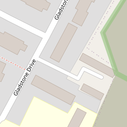
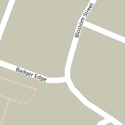

Leaflet © OpenStreetMap contributors
The heatmap indicates the level of crime in the area. The color of the heatmap indicates the crime severity and recency.
Metrics Year-on-Year
- Average area value
- 294,063.00 £Increased by 8.27 %
- Average area rental value
- 1,320.00 £/moIncreased by 18.39 %
- Est rental Yield
- 5.39 %Increased by 9.33 %
- Crime Rate
- 6.00 %Unchanged by 0.00 %
from 271,600.00 £
from 1,115.00 £/mo
from 4.93 %
from 6.00 %
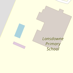
Nearby Schools
| Name | Type | Ofsted | Distance |
|---|---|---|---|
| Lansdowne Primary School | Academy Sponsor Led | Good | 0.10 KM |
| The Sittingbourne School | Academy Sponsor Led | Good | 0.75 KM |
| Meadowfield School | Foundation Special School | Outstanding | 0.75 KM |
| Bapchild And Tonge Church Of England Primary School And Nursery | Voluntary Aided School | Good | 0.76 KM |
| Sunny Bank Primary School | Academy Sponsor Led | 0.96 KM |
Images
Nearby Streets
| Name | Average Price | Average Sqft | Distance |
|---|---|---|---|
| Blossom Street | £ 285,000 | 0 | 0.00 KM |
| Bapchild Avenue | £ 0 | 0 | 0.00 KM |
| Spring Grove | £ 0 | 0 | 0.00 KM |
| East Hall Close | £ 0 | 0 | 0.00 KM |
| Cambridge Road | £ 220,000 | 0 | 0.00 KM |
Nearby Transport
| Name | NLC | TLC | Distance |
|---|---|---|---|
| Sittingbourne | 5187 | SIT | 2.96 KM |
| Kemsley | 5205 | KML | 3.96 KM |
| Teynham | 5193 | TEY | 5.15 KM |
| Swale | 5249 | SWL | 5.93 KM |
| Queenborough | 5176 | QBR | 8.76 KM |
Nearby Listings
| Address | Price | Type | Score | Distance |
|---|---|---|---|---|
| Gladstone Drive, Sittingbourne, Kent, ME10 | £ 325,000 | BUY | 7 / 10 | 0.06 KM |
| Gladstone Drive, Sittingbourne, Kent, ME10 | £ 275,000 | BUY | Unknown | 0.10 KM |
| Palmerston Walk, Sittingbourne, Kent, ME10 | £ 240,000 | BUY | 7 / 10 | 0.14 KM |
| Palmerston Walk, Sittingbourne, Kent, ME10 | £ 260,000 | BUY | 7 / 10 | 0.18 KM |
| Peel Drive, Sittingbourne, Kent, ME10 | £ 270,000 | BUY | 7 / 10 | 0.22 KM |
Nearby Properties
| Address | Price | Distance |
|---|---|---|
| 22 Gladstone Drive | £ 244,300 | 0.00 KM |
| 8 Gladstone Drive | £ 59,500 | 0.00 KM |
| 16 Gladstone Drive | £ 207,000 | 0.00 KM |
| 6 Gladstone Drive | £ 192,000 | 0.02 KM |
| 10 Gladstone Drive | £ 156,500 | 0.02 KM |