UN
6 Milstead Close
£ 98,000
Description
We don't have a Description for this property.
- Bedrooms
- 2
- Bathrooms
- 0
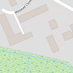
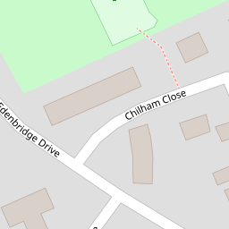
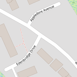


Leaflet © OpenStreetMap contributors
The heatmap indicates the level of crime in the area. The color of the heatmap indicates the crime severity and recency.
Metrics Year-on-Year
- Average area value
- 202,431.00 £Increased by 1.44 %
- Average area rental value
- 1,233.00 £/moIncreased by 17.09 %
- Est rental Yield
- 7.31 %Increased by 15.48 %
- Crime Rate
- 18.00 %Unchanged by 0.00 %
from 199,565.00 £
from 1,053.00 £/mo
from 6.33 %
from 18.00 %
Nearby Schools
| Name | Type | Ofsted | Distance |
|---|---|---|---|
| West Minster Primary School | Community School | Good | 0.38 KM |
| St Edward'S Catholic Primary School | Academy Sponsor Led | Good | 1.13 KM |
| Rose Street Primary School | Community School | Good | 1.30 KM |
| Seashells Children'S Centre | Children's Centre | 1.31 KM | |
| Queenborough School And Nursery | Academy Converter | 1.42 KM |
Images
Nearby Streets
| Name | Average Price | Average Sqft | Distance |
|---|---|---|---|
| Hawthorn Avenue | £ 325,000 | 0 | 0.00 KM |
| Alder Close | £ 0 | 0 | 0.00 KM |
| Miranda Court | £ 200,000 | 0 | 0.00 KM |
| St George's Avenue | £ 280,000 | 0 | 0.00 KM |
| Holland Close | £ 130,000 | 0 | 0.00 KM |
Nearby Transport
| Name | NLC | TLC | Distance |
|---|---|---|---|
| Queenborough | 5176 | QBR | 1.47 KM |
| Sheerness-On-Sea | 5184 | SSS | 1.52 KM |
| Swale | 5249 | SWL | 4.39 KM |
| Kemsley | 5205 | KML | 7.59 KM |
| Sittingbourne | 5187 | SIT | 9.82 KM |
Nearby Listings
| Address | Price | Type | Score | Distance |
|---|---|---|---|---|
| Milstead Close, Sheerness | £ 210,000 | BUY | 6 / 10 | 0.02 KM |
| Edenbridge Drive, Sheerness | £ 220,000 | BUY | 5 / 10 | 0.13 KM |
| Hawthorne Avenue, Sheerness | £ 275,000 | BUY | 7 / 10 | 0.43 KM |
| Detling Close, Sheerness, Kent | £ 240,000 | BUY | Unknown | 0.46 KM |
| Miranda Court, Kent | £ 200,000 | BUY | 5 / 10 | 0.55 KM |
Nearby Properties
| Address | Price | Distance |
|---|---|---|
| 9 Milstead Close | £ 119,995 | 0.00 KM |
| 6 Milstead Close | £ 98,000 | 0.00 KM |
| 86 Edenbridge Drive | £ 175,000 | 0.11 KM |
| 52 Edenbridge Drive | £ 55,000 | 0.11 KM |
| 76 Edenbridge Drive | £ 95,000 | 0.11 KM |