UN
1 Bank Street
£ 240,000
Description
We don't have a Description for this property.
- Bedrooms
- 1
- Bathrooms
- 0
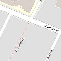
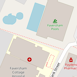
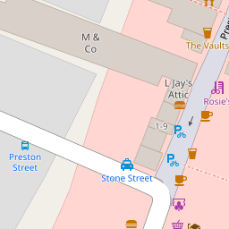
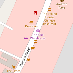

Leaflet © OpenStreetMap contributors
The heatmap indicates the level of crime in the area. The color of the heatmap indicates the crime severity and recency.
Metrics Year-on-Year
- Average area value
- 498,807.00 £Increased by 10.46 %
- Average area rental value
- 2,351.00 £/moIncreased by 12.33 %
- Est rental Yield
- 5.66 %Increased by 1.80 %
- Crime Rate
- 38.00 %Unchanged by 0.00 %
from 451,565.00 £
from 2,093.00 £/mo
from 5.56 %
from 38.00 %
Nearby Schools
| Name | Type | Ofsted | Distance |
|---|---|---|---|
| St Mary'S Children'S Centre | Children's Centre | 0.70 KM | |
| Ethelbert Road Primary School | Community School | Outstanding | 0.75 KM |
| St Mary Of Charity Cofe (Aided) Primary School | Academy Sponsor Led | Outstanding | 0.81 KM |
| Queen Elizabeth'S Grammar School | Academy Converter | Outstanding | 0.85 KM |
| The Abbey School | Academy Converter | Good | 0.87 KM |
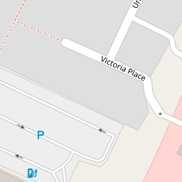
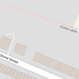
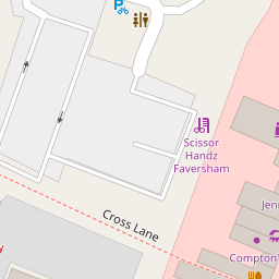
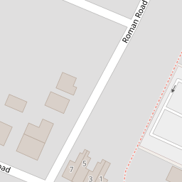
Images
Nearby Streets
| Name | Average Price | Average Sqft | Distance |
|---|---|---|---|
| Ticklebelly Alley | £ 425,000 | 0 | 0.00 KM |
| Runnymede Mews | £ 0 | 0 | 0.00 KM |
| East Street | £ 475,000 | 0 | 0.00 KM |
| Middle Row | £ 0 | 0 | 0.00 KM |
| Saxon Road | £ 422,500 | 0 | 0.00 KM |
Nearby Transport
| Name | NLC | TLC | Distance |
|---|---|---|---|
| Faversham | 5167 | FAV | 0.33 KM |
| Selling | 5179 | SEG | 7.01 KM |
| Teynham | 5193 | TEY | 9.31 KM |
Nearby Listings
| Address | Price | Type | Score | Distance |
|---|---|---|---|---|
| Bank Street, Faversham | £ 285,000 | BUY | 6 / 10 | 0.02 KM |
| Bank Street, Faversham, Kent | £ 265,000 | BUY | 5 / 10 | 0.02 KM |
| Stone Street, Faversham, ME13 | £ 395,000 | BUY | 7 / 10 | 0.04 KM |
| Union Street, Faversham, Kent, ., ME13 | £ 300,000 | BUY | Unknown | 0.09 KM |
| Union Street, Faversham | £ 325,000 | BUY | Unknown | 0.09 KM |
Nearby Properties
| Address | Price | Distance |
|---|---|---|
| 1 Bank Street | £ 240,000 | 0.00 KM |
| 2 Bank Street | £ 225,000 | 0.00 KM |
| 36 Stone Street | £ 230,000 | 0.04 KM |
| 45 Stone Street | £ 362,000 | 0.04 KM |
| 38 Stone Street | £ 195,000 | 0.04 KM |