UN
140 Ashford Road
£ 225,000
Description
We don't have a Description for this property.
- Bedrooms
- 3
- Bathrooms
- 0
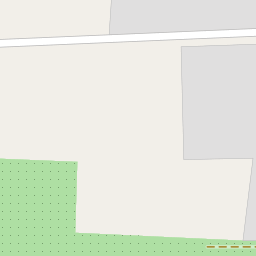
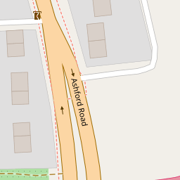
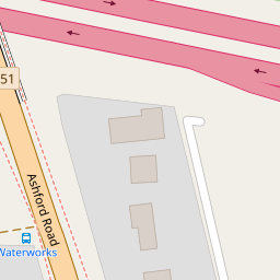
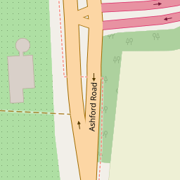

Leaflet © OpenStreetMap contributors
The heatmap indicates the level of crime in the area. The color of the heatmap indicates the crime severity and recency.
Metrics Year-on-Year
- Average area value
- 556,862.00 £Increased by 32.07 %
- Average area rental value
- 1,860.00 £/moIncreased by 43.41 %
- Est rental Yield
- 4.01 %Increased by 8.67 %
- Crime Rate
- 1.00 %Unchanged by 0.00 %
from 421,633.00 £
from 1,297.00 £/mo
from 3.69 %
from 1.00 %
Nearby Schools
| Name | Type | Ofsted | Distance |
|---|---|---|---|
| The Abbey School | Academy Converter | Good | 0.90 KM |
| Ethelbert Road Primary School | Community School | Outstanding | 1.35 KM |
| St Mary'S Children'S Centre | Children's Centre | 1.91 KM | |
| St Mary Of Charity Cofe (Aided) Primary School | Academy Sponsor Led | Outstanding | 2.01 KM |
| Queen Elizabeth'S Grammar School | Academy Converter | Outstanding | 2.19 KM |
Images
Nearby Streets
| Name | Average Price | Average Sqft | Distance |
|---|---|---|---|
| Warden Avenue | £ 0 | 0 | 0.00 KM |
| Beaumont Davy Close | £ 0 | 0 | 0.00 KM |
| St. Catherines Drive | £ 0 | 0 | 0.00 KM |
| Nelson Terrace | £ 310,000 | 0 | 0.00 KM |
| The Close | £ 0 | 0 | 0.00 KM |
Nearby Transport
| Name | NLC | TLC | Distance |
|---|---|---|---|
| Faversham | 5167 | FAV | 1.39 KM |
| Selling | 5179 | SEG | 6.30 KM |
| Teynham | 5193 | TEY | 9.72 KM |
Nearby Listings
| Address | Price | Type | Score | Distance |
|---|---|---|---|---|
| Ashford Road, Faversham, ME13 | £ 899,999 | BUY | Unknown | 0.56 KM |
| Jupiter Grove, Faversham, Kent | £ 450,000 | BUY | 7 / 10 | 0.72 KM |
| Jupiter Grove, Faversham, Kent | £ 297,500 | BUY | 7 / 10 | 0.72 KM |
| Russett Lane, Faversham | £ 625,000 | BUY | Unknown | 0.78 KM |
| Marchant Grove, Faversham | £ 500,000 | BUY | Unknown | 0.89 KM |
Nearby Properties
| Address | Price | Distance |
|---|---|---|
| 140 Ashford Road | £ 225,000 | 0.00 KM |
| 126 Ashford Road | £ 130,000 | 0.01 KM |
| 141 Ashford Road | £ 395,000 | 0.01 KM |
| 135 Ashford Road | £ 160,000 | 0.01 KM |
| 130 Ashford Road | £ 237,000 | 0.01 KM |