UN
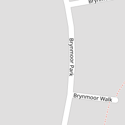
2 Brynmoor Walk
£ 195,000
Description
We don't have a Description for this property.
- Bedrooms
- 2
- Bathrooms
- 0

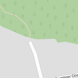

Leaflet © OpenStreetMap contributors
The heatmap indicates the level of crime in the area. The color of the heatmap indicates the crime severity and recency.
Metrics Year-on-Year
- Average area value
- 332,250.00 £Increased by 4.68 %
- Average area rental value
- 769.00 £/moIncreased by 6.81 %
- Est rental Yield
- 2.78 %Increased by 2.21 %
- Crime Rate
- 5.00 %Unchanged by 0.00 %
from 317,391.00 £
from 720.00 £/mo
from 2.72 %
from 5.00 %
Nearby Schools
| Name | Type | Ofsted | Distance |
|---|---|---|---|
| Sweet Peas Peverell Children'S Centre | Children's Centre | 0.13 KM | |
| Compton Cofe Primary School | Voluntary Controlled School | Good | 0.64 KM |
| Eggbuckland Community College | Academy Converter | Requires improvement | 0.89 KM |
| Eggbuckland Vale Primary School | Academy Converter | Good | 0.93 KM |
| Lipson Co-Operative Academy | Academy Converter | Requires improvement | 1.29 KM |
Images
Nearby Streets
| Name | Average Price | Average Sqft | Distance |
|---|---|---|---|
| Greatfield Road | £ 0 | 0 | 0.00 KM |
| The Retreat | £ 340,000 | 0 | 0.00 KM |
| Petersfield Close | £ 0 | 0 | 0.00 KM |
| Park Road | £ 350,000 | 0 | 0.00 KM |
| Compton Leigh | £ 0 | 0 | 0.00 KM |
Nearby Transport
| Name | NLC | TLC | Distance |
|---|---|---|---|
| Plymouth | 3580 | PLY | 3.11 KM |
| Devonport | 3579 | DPT | 5.87 KM |
| Dockyard (Devonport) | 3588 | DOC | 6.33 KM |
| Keyham | 3571 | KEY | 6.64 KM |
| St Budeaux Ferry Road | 3590 | SBF | 7.48 KM |
Nearby Listings
| Address | Price | Type | Score | Distance |
|---|---|---|---|---|
| Brynmoor Park, Higher Compton, Plymouth | £ 310,000 | BUY | Unknown | 0.12 KM |
| Revel Road, Plymouth. | £ 320,000 | BUY | 6 / 10 | 0.13 KM |
| Eggbuckland Road, Higher Compton, Plymouth | £ 1,000,000 | BUY | 8 / 10 | 0.16 KM |
| Higher Compton, Plymouth | £ 500,000 | BUY | 7 / 10 | 0.19 KM |
| Higher Compton, Plymouth | £ 260,000 | BUY | 5 / 10 | 0.21 KM |
Nearby Properties
| Address | Price | Distance |
|---|---|---|
| 5 Brynmoor Walk | £ 190,000 | 0.00 KM |
| 2 Brynmoor Walk | £ 195,000 | 0.00 KM |
| 16 Brynmoor Park | £ 193,500 | 0.07 KM |
| 30 Brynmoor Park | £ 159,950 | 0.07 KM |
| 22 Brynmoor Park | £ 320,000 | 0.07 KM |