UN
16 Church Path
£ 280,000
Description
We don't have a Description for this property.
- Bedrooms
- 4
- Bathrooms
- 0
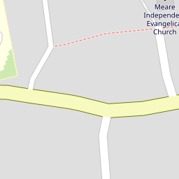
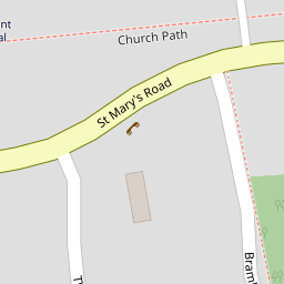

Leaflet © OpenStreetMap contributors
The heatmap indicates the level of crime in the area. The color of the heatmap indicates the crime severity and recency.
Metrics Year-on-Year
- Average area value
- 292,744.00 £Decreased by 2.36 %
- Average area rental value
- 772.00 £/moDecreased by 7.21 %
- Est rental Yield
- 3.16 %Decreased by 5.11 %
- Crime Rate
- 267.00 %Unchanged by 0.00 %
from 299,832.00 £
from 832.00 £/mo
from 3.33 %
from 267.00 %
Nearby Schools
| Name | Type | Ofsted | Distance |
|---|---|---|---|
| Meare Village Primary School | Community School | Outstanding | 0.38 KM |
| Abbot'S Way School | Other Independent Special School | 0.42 KM | |
| Ashcott Primary School | Community School | Good | 5.28 KM |
| Walton Church Of England Voluntary Controlled Primary School | Voluntary Controlled School | Outstanding | 5.48 KM |
| The Levels School | Other Independent Special School | 5.69 KM |
Images
Nearby Streets
| Name | Average Price | Average Sqft | Distance |
|---|---|---|---|
| Moorview Close | £ 252,475 | 0 | 0.00 KM |
| Chapel Lane | £ 750,000 | 0 | 0.00 KM |
Nearby Listings
| Address | Price | Type | Score | Distance |
|---|---|---|---|---|
| Church Path, Meare, Somerset, BA6 | £ 340,000 | BUY | Unknown | 0.04 KM |
| Farriers Close, Meare | £ 425,000 | BUY | 7 / 10 | 0.15 KM |
| The Levels, Meare, Glastonbury, Somerset | £ 335,000 | BUY | 7 / 10 | 0.20 KM |
| The Pastures, Meare | £ 299,000 | BUY | Unknown | 0.33 KM |
| Meare, between Glastonbury and Wedmore | £ 800,000 | BUY | Unknown | 0.41 KM |
Nearby Properties
| Address | Price | Distance |
|---|---|---|
| 15 Church Path | £ 110,000 | 0.00 KM |
| 9 Church Path | £ 390,000 | 0.00 KM |
| 16 Church Path | £ 280,000 | 0.00 KM |
| 8 Church Path | £ 220,000 | 0.00 KM |
| 25 Church Path | £ 246,000 | 0.02 KM |