UN
8 Angus Close
£ 375,000
Description
We don't have a Description for this property.
- Bedrooms
- 4
- Bathrooms
- 0
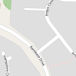
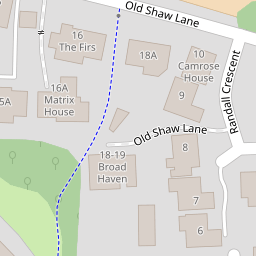
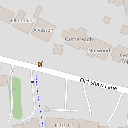
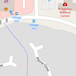
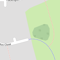

Leaflet © OpenStreetMap contributors
The heatmap indicates the level of crime in the area. The color of the heatmap indicates the crime severity and recency.
Metrics Year-on-Year
- Average area value
- 298,863.00 £Increased by 13.11 %
- Average area rental value
- 946.00 £/moDecreased by 9.73 %
- Est rental Yield
- 3.80 %Decreased by 20.17 %
- Crime Rate
- 1.00 %Unchanged by 0.00 %
from 264,214.00 £
from 1,048.00 £/mo
from 4.76 %
from 1.00 %
Nearby Schools
| Name | Type | Ofsted | Distance |
|---|---|---|---|
| Brook Field Primary School | Academy Converter | 0.41 KM | |
| Shaw Ridge Primary School | Academy Converter | Good | 0.56 KM |
| Tregoze Primary School | Academy Converter | Good | 1.14 KM |
| Peatmoor Community Primary School | Academy Converter | Good | 1.16 KM |
| Westlea Primary School | Academy Converter | Good | 1.32 KM |
Images
Nearby Streets
| Name | Average Price | Average Sqft | Distance |
|---|---|---|---|
| Redcap Close | £ 0 | 0 | 0.00 KM |
| Midwinter Close | £ 259,950 | 0 | 0.00 KM |
| Holinshed Mews | £ 0 | 0 | 0.00 KM |
| Upper Mill | £ 0 | 0 | 0.00 KM |
| Common Platt | £ 0 | 0 | 0.00 KM |
Nearby Transport
| Name | NLC | TLC | Distance |
|---|---|---|---|
| Swindon (Wilts) | 3333 | SWI | 5.47 KM |
Nearby Listings
| Address | Price | Type | Score | Distance |
|---|---|---|---|---|
| Angus Close, Ramleaze, Swindon, Wiltshire, SN5 | £ 440,000 | BUY | 6 / 10 | 0.00 KM |
| Angus Close, Ramleaze, Swindon, SN5 5PT | £ 250,000 | BUY | 7 / 10 | 0.09 KM |
| Ramleaze Drive, Shaw, Swindon | £ 325,000 | BUY | 6 / 10 | 0.15 KM |
| Berkshire Drive, Shaw, Swindon, Wiltshire, SN5 | £ 290,000 | BUY | 6 / 10 | 0.17 KM |
| Shropshire Close, Shaw, Swindon | £ 300,000 | BUY | 7 / 10 | 0.17 KM |
Nearby Properties
| Address | Price | Distance |
|---|---|---|
| 10 Angus Close | £ 440,000 | 0.00 KM |
| 23 Angus Close | £ 218,000 | 0.00 KM |
| 4 Angus Close | £ 222,000 | 0.00 KM |
| 9 Angus Close | £ 313,000 | 0.00 KM |
| 8 Angus Close | £ 375,000 | 0.00 KM |