UN
2 Faber Close
£ 134,000
Description
We don't have a Description for this property.
- Bedrooms
- 2
- Bathrooms
- 0
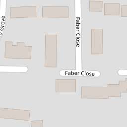
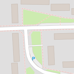

Leaflet © OpenStreetMap contributors
The heatmap indicates the level of crime in the area. The color of the heatmap indicates the crime severity and recency.
Metrics Year-on-Year
- Average area value
- 436,333.00 £Decreased by 35.99 %
- Average area rental value
- 1,469.00 £/moIncreased by 1.10 %
- Est rental Yield
- 4.04 %Increased by 57.81 %
- Crime Rate
- 8.00 %Unchanged by 0.00 %
from 681,667.00 £
from 1,453.00 £/mo
from 2.56 %
from 8.00 %
Nearby Schools
| Name | Type | Ofsted | Distance |
|---|---|---|---|
| St Alban'S Church Of England Aided Primary School | Voluntary Aided School | Good | 0.35 KM |
| Front Lawn Primary Academy | Academy Sponsor Led | Good | 0.75 KM |
| Sharps Copse And Park Futures Children'S Centre | Children's Centre | 0.80 KM | |
| Sharps Copse Primary And Nursery School | Community School | Good | 0.82 KM |
| Havant Academy | Academy Sponsor Led | Good | 1.31 KM |
Images
Nearby Streets
| Name | Average Price | Average Sqft | Distance |
|---|---|---|---|
| Martin Road | £ 0 | 0 | 0.00 KM |
| Juventu Close | £ 380,000 | 0 | 0.00 KM |
| Chawton Way | £ 0 | 0 | 0.00 KM |
| Petersfield Road | £ 0 | 0 | 0.00 KM |
| Ashe Road | £ 0 | 0 | 0.00 KM |
Nearby Transport
| Name | NLC | TLC | Distance |
|---|---|---|---|
| Havant | 5532 | HAV | 1.45 KM |
| Warblington | 5264 | WBL | 1.53 KM |
| Bedhampton | 5538 | BDH | 2.69 KM |
| Rowlands Castle | 5658 | RLN | 3.53 KM |
| Emsworth | 5257 | EMS | 4.24 KM |
Nearby Listings
| Address | Price | Type | Score | Distance |
|---|---|---|---|---|
| Faber Close, West Leigh, Havant, Hampshire, PO9 | £ 250,000 | BUY | 5 / 10 | 0.00 KM |
| St.Abans Road, West Leigh | £ 269,995 | BUY | 7 / 10 | 0.08 KM |
| Redwood Grove, Havant, Hampshire, PO9 | £ 255,000 | BUY | Unknown | 0.12 KM |
| St Albans Road, Havant, PO9 | £ 235,000 | BUY | 4 / 10 | 0.14 KM |
| St Albans Road, West Leigh, Havant | £ 260,000 | BUY | 6 / 10 | 0.14 KM |
Nearby Properties
| Address | Price | Distance |
|---|---|---|
| 9 Faber Close | £ 171,000 | 0.00 KM |
| 7 Faber Close | £ 138,000 | 0.00 KM |
| 12 Faber Close | £ 270,000 | 0.00 KM |
| 16 Faber Close | £ 260,000 | 0.00 KM |
| 5 Faber Close | £ 237,000 | 0.00 KM |