UN
2 Argyle Road
£ 132,000
Description
We don't have a Description for this property.
- Bedrooms
- 4
- Bathrooms
- 0
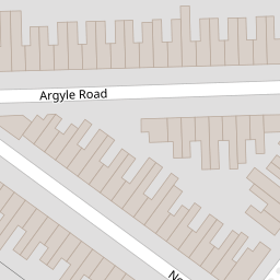
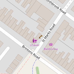
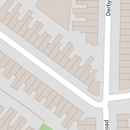

Leaflet © OpenStreetMap contributors
The heatmap indicates the level of crime in the area. The color of the heatmap indicates the crime severity and recency.
Metrics Year-on-Year
- Average area value
- 278,177.00 £Increased by 15.61 %
- Average area rental value
- 1,174.00 £/moIncreased by 8.60 %
- Est rental Yield
- 5.06 %Decreased by 6.12 %
- Crime Rate
- 7.00 %Unchanged by 0.00 %
from 240,625.00 £
from 1,081.00 £/mo
from 5.39 %
from 7.00 %
Nearby Schools
| Name | Type | Ofsted | Distance |
|---|---|---|---|
| Central Sure Start Children'S Centre | Children's Centre | 0.17 KM | |
| Fitrah Sips Ltd | Other Independent School | Good | 0.33 KM |
| St Mary'S Church Of England Voluntary Controlled Primary School | Voluntary Controlled School | Good | 0.46 KM |
| Maytree Nursery And Infants' School | Foundation School | Good | 0.52 KM |
| Southampton Solent University | Higher Education Institutions | Good | 0.52 KM |
Images
Nearby Streets
| Name | Average Price | Average Sqft | Distance |
|---|---|---|---|
| St Andrews Road | £ 0 | 0 | 0.00 KM |
| Raven Road | £ 0 | 0 | 0.00 KM |
| Kingsway | £ 329,950 | 0 | 0.00 KM |
| Chapel Street | £ 0 | 0 | 0.00 KM |
| Cable Street | £ 0 | 0 | 0.00 KM |
Nearby Transport
| Name | NLC | TLC | Distance |
|---|---|---|---|
| St Denys | 5914 | SDN | 1.65 KM |
| Southampton Central | 5932 | SOU | 1.98 KM |
| Bitterne | 5945 | BTE | 2.29 KM |
| Woolston | 5925 | WLS | 2.41 KM |
| Sholing | 5930 | SHO | 3.72 KM |
Nearby Listings
| Address | Price | Type | Score | Distance |
|---|---|---|---|---|
| Northbrook Road, Southampton, Hampshire, SO14 | £ 150,000 | BUY | Unknown | 0.05 KM |
| Graham Road, Southampton | £ 225,000 | BUY | 5 / 10 | 0.20 KM |
| Bevois Valley Road, Southampton, Hampshire, SO14 | £ 170,000 | BUY | 6 / 10 | 0.23 KM |
| Oxford Avenue, Southampton, Hampshire | £ 380,000 | BUY | 6 / 10 | 0.25 KM |
| St Marys Road, Southampton, Hampshire, SO14 | £ 250,000 | BUY | 5 / 10 | 0.26 KM |
Nearby Properties
| Address | Price | Distance |
|---|---|---|
| 72 Argyle Road | £ 250,000 | 0.00 KM |
| 52 Argyle Road | £ 173,500 | 0.00 KM |
| 82 Argyle Road | £ 115,000 | 0.00 KM |
| 84 Argyle Road | £ 170,000 | 0.00 KM |
| 10 Argyle Road | £ 176,000 | 0.00 KM |