UN
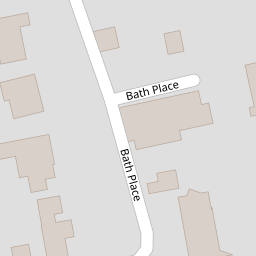
14 Bath Place
£ 500,000
Description
We don't have a Description for this property.
- Bedrooms
- 4
- Bathrooms
- 0
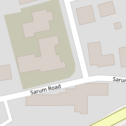

Leaflet © OpenStreetMap contributors
The heatmap indicates the level of crime in the area. The color of the heatmap indicates the crime severity and recency.
Metrics Year-on-Year
- Average area value
- 670,260.00 £Decreased by 11.72 %
- Average area rental value
- 1,555.00 £/moDecreased by 21.82 %
- Est rental Yield
- 2.78 %Decreased by 11.46 %
- Crime Rate
- 3.00 %Unchanged by 0.00 %
from 759,256.00 £
from 1,989.00 £/mo
from 3.14 %
from 3.00 %
Nearby Schools
| Name | Type | Ofsted | Distance |
|---|---|---|---|
| Western Church Of England Primary School | Voluntary Controlled School | Good | 0.53 KM |
| The Westgate School | Community School | Good | 0.92 KM |
| University Of Winchester | Higher Education Institutions | 1.12 KM | |
| Kings' School | Community School | Outstanding | 1.17 KM |
| The Carroll Children'S Centre | Children's Centre Linked Site | 1.22 KM |
Images
Nearby Streets
| Name | Average Price | Average Sqft | Distance |
|---|---|---|---|
| Royal Crescent | £ 78,750 | 0 | 0.00 KM |
| Ashmore Road | £ 950,000 | 0 | 0.00 KM |
| Old Romsey Road | £ 0 | 0 | 0.00 KM |
| Kings Road | £ 1,050,000 | 0 | 0.00 KM |
| Butt's Close | £ 1,287,500 | 0 | 0.00 KM |
Nearby Transport
| Name | NLC | TLC | Distance |
|---|---|---|---|
| Winchester | 5924 | WIN | 1.94 KM |
| Shawford | 5929 | SHW | 4.63 KM |
Nearby Listings
| Address | Price | Type | Score | Distance |
|---|---|---|---|---|
| Bath Place, Winchester, SO22 | £ 78,000 | BUY | Unknown | 0.01 KM |
| Winchester | £ 550,000 | BUY | 7 / 10 | 0.04 KM |
| Chilbolton Avenue, Winchester, SO22 | £ 800,000 | BUY | 7 / 10 | 0.16 KM |
| Winchester | £ 425,000 | BUY | 7 / 10 | 0.17 KM |
| Winchester | £ 300,000 | BUY | 7 / 10 | 0.18 KM |
Nearby Properties
| Address | Price | Distance |
|---|---|---|
| 19 Bath Place | £ 675,000 | 0.00 KM |
| 38 Bath Place | £ 655,000 | 0.00 KM |
| 47 Bath Place | £ 259,950 | 0.00 KM |
| 33 Bath Place | £ 46,500 | 0.00 KM |
| 10 Bath Place | £ 494,950 | 0.00 KM |