UN
17 Mountbatten Way
£ 262,500
Description
We don't have a Description for this property.
- Bedrooms
- 4
- Bathrooms
- 0
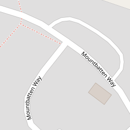

Leaflet © OpenStreetMap contributors
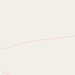
The heatmap indicates the level of crime in the area. The color of the heatmap indicates the crime severity and recency.
Metrics Year-on-Year
- Average area value
- 278,019.00 £Increased by 21.15 %
- Average area rental value
- 919.00 £/moDecreased by 8.01 %
- Est rental Yield
- 3.97 %Decreased by 23.95 %
- Crime Rate
- 56.00 %Unchanged by 0.00 %
from 229,480.00 £
from 999.00 £/mo
from 5.22 %
from 56.00 %
Nearby Schools
| Name | Type | Ofsted | Distance |
|---|---|---|---|
| Smeeth Community Primary School | Foundation School | Requires improvement | 0.88 KM |
| Brabourne Church Of England Primary School | Voluntary Controlled School | Good | 1.99 KM |
| Caldecott Foundation School | Non-maintained Special School | Good | 2.60 KM |
| Sellindge Primary School | Community School | Outstanding | 4.08 KM |
| Brook Community Primary School | Foundation School | Requires improvement | 4.39 KM |
Images
Nearby Streets
| Name | Average Price | Average Sqft | Distance |
|---|---|---|---|
| The Chestnuts | £ 430,000 | 0 | 0.00 KM |
| Lilyvale Road | £ 0 | 0 | 0.00 KM |
Nearby Transport
| Name | NLC | TLC | Distance |
|---|---|---|---|
| Westenhanger | 5030 | WHA | 7.97 KM |
| Wye | 5031 | WYE | 8.11 KM |
Nearby Listings
| Address | Price | Type | Score | Distance |
|---|---|---|---|---|
| Mountbatten Way, Ashford, Kent, TN25 | £ 500,000 | BUY | 6 / 10 | 0.00 KM |
| Mountbatten Way, Ashford, Kent, TN25 | £ 475,000 | BUY | Unknown | 0.00 KM |
| Prospect Way, Ashford, Kent, TN25 | £ 400,000 | BUY | 7 / 10 | 0.14 KM |
| Lees Road, Brabourne Lees, Ashford, TN25 | £ 350,000 | BUY | Unknown | 0.26 KM |
| Canterbury Road, Ashford, Kent | £ 475,000 | BUY | Unknown | 0.28 KM |
Nearby Properties
| Address | Price | Distance |
|---|---|---|
| 10 Mountbatten Way | £ 455,000 | 0.00 KM |
| 9 Mountbatten Way | £ 525,000 | 0.00 KM |
| 37 Mountbatten Way | £ 495,000 | 0.00 KM |
| 16 Mountbatten Way | £ 388,000 | 0.00 KM |
| 33 Mountbatten Way | £ 297,000 | 0.00 KM |