UN
21 Heathside
£ 172,500
Description
We don't have a Description for this property.
- Bedrooms
- 2
- Bathrooms
- 0

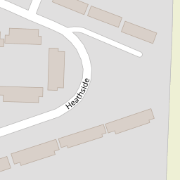
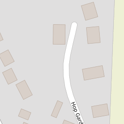

Leaflet © OpenStreetMap contributors
The heatmap indicates the level of crime in the area. The color of the heatmap indicates the crime severity and recency.
Metrics Year-on-Year
- Average area value
- 278,019.00 £Increased by 21.15 %
- Average area rental value
- 919.00 £/moDecreased by 8.01 %
- Est rental Yield
- 3.97 %Decreased by 23.95 %
- Crime Rate
- 149.00 %Unchanged by 0.00 %
from 229,480.00 £
from 999.00 £/mo
from 5.22 %
from 149.00 %
Nearby Schools
| Name | Type | Ofsted | Distance |
|---|---|---|---|
| Woodchurch Church Of England Primary School | Voluntary Controlled School | Good | 4.86 KM |
| Brookland Church Of England Primary School | Voluntary Controlled School | Good | 7.19 KM |
| Hamstreet Primary Academy | Academy Converter | Good | 8.08 KM |
| Brenzett Church Of England Primary School | Academy Sponsor Led | Good | 8.55 KM |
| St Michael'S Church Of England Primary School | Voluntary Controlled School | Good | 9.09 KM |
Images
Nearby Transport
| Name | NLC | TLC | Distance |
|---|---|---|---|
| Appledore (Kent) | 5003 | APD | 3.49 KM |
| Ham Street | 5037 | HMT | 8.24 KM |
Nearby Listings
| Address | Price | Type | Score | Distance |
|---|---|---|---|---|
| Heath Road, Appledore, Ashford, Kent | £ 500,000 | BUY | Unknown | 0.14 KM |
| School Road Appledore, Ashford TN26 | £ 795,000 | BUY | 7 / 10 | 0.28 KM |
| Appledore, Ashford | £ 500,000 | BUY | 7 / 10 | 0.44 KM |
| Tenterden Road, Appledore | £ 995,000 | BUY | Unknown | 0.48 KM |
| Tenterden Road, Appledore | £ 950,000 | BUY | 7 / 10 | 0.51 KM |
Nearby Properties
| Address | Price | Distance |
|---|---|---|
| 29 Heathside | £ 363,500 | 0.00 KM |
| 22 Heathside | £ 215,000 | 0.00 KM |
| 18 Heathside | £ 268,000 | 0.00 KM |
| 9 Heathside | £ 285,000 | 0.00 KM |
| 31 Heathside | £ 285,000 | 0.00 KM |